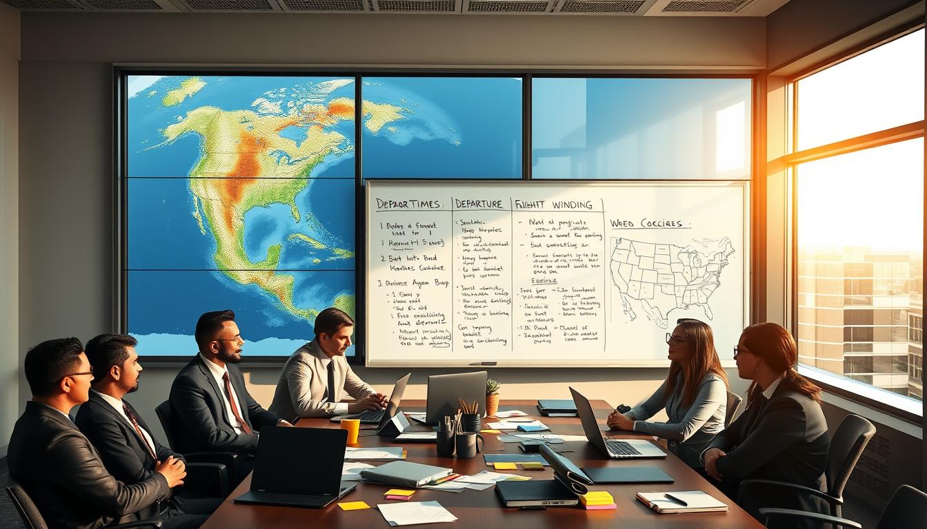
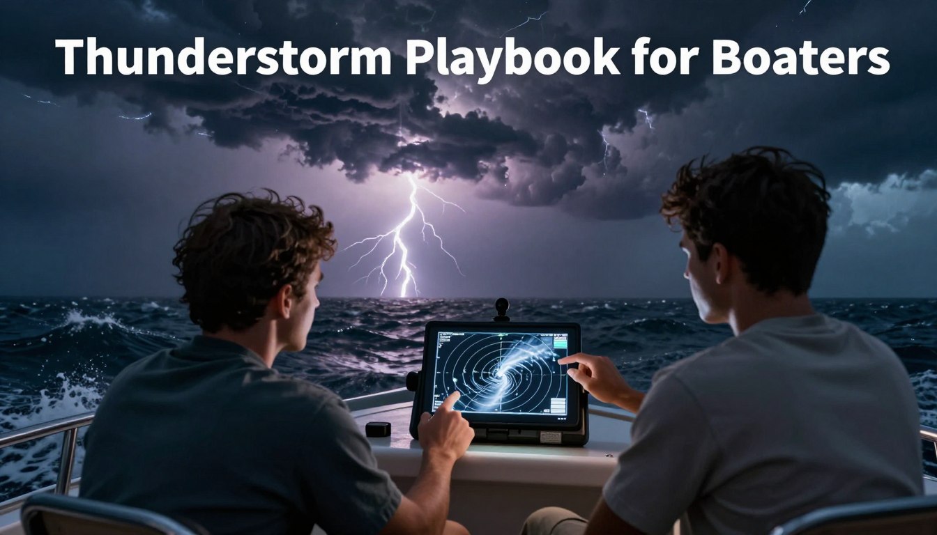
Thunderstorm Playbook for Boaters: Radar Reads, Squall Lines, and Lightning Safety

Thunderstorms & Squalls

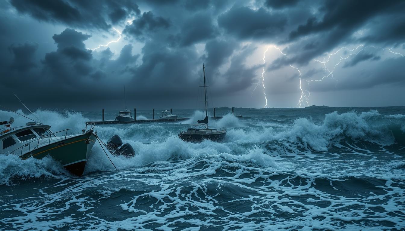
For serious sailors, facing severe weather is not just luck. It’s a planned part of the journey. Safety comes from seeing thunderstorms and squalls as challenges you can tackle with a solid plan. This careful planning starts before the weather gets bad. It means understanding forecasts like the convective outlook to guide your strategy. Just … Read moreThunderstorm Playbook for Boaters: Radar Reads, Squall Lines, and Lightning Safety

Beating the Fog: Forecasting, Avoidance, and Navigation Tactics

Fog & Visibility

For those who sail offshore, a thick mist is a scary experience. Seasoned sailors call it one of the scariest situations at sea. Losing your sight triggers anxiety and forces a change in how you operate. The dangers of reduced visibility are clear and immediate. The main risks are hitting another boat, an unseen hazard, … Read moreBeating the Fog: Forecasting, Avoidance, and Navigation Tactics

Local Wind Secrets: Sea Breezes, Gap Winds, and Afternoon Puffs

Sea Breeze & Microclimates

The coastline has secrets in the air. Local wind patterns make each bay, sound, and inlet unique. These winds are not random but predictable, physics-driven phenomena that shape our daily lives. The sea breeze is a classic thermal wind. It moves with the sun’s rhythm, powered by land and water temperature differences. This wind is … Read moreLocal Wind Secrets: Sea Breezes, Gap Winds, and Afternoon Puffs

Wave Height vs. Period: What Conditions Really Feel Like

Waves & Swell

When you look at a marine forecast, two numbers stand out: wave height and wave period. Most boaters pay more attention to the first number. But that’s only half the story. The forecast shows you the significant wave height. This is the average of the tallest one-third of waves. It’s not the highest wave you’ll … Read moreWave Height vs. Period: What Conditions Really Feel Like

Read the Water: Using NOAA Buoys, CMAN Stations, and Harbor Sensors

Buoys & Stations

The sea is always changing. For those on the water, knowing their surroundings is key for safety and efficiency. A network of automated sentinels provides this vital info. NOAA buoys, Coastal-Marine Automated Network (CMAN) stations, and harbor sensors are part of it. The National Data Buoy Center (NDBC) collects and shares this important data. These … Read moreRead the Water: Using NOAA Buoys, CMAN Stations, and Harbor Sensors

GFS vs. ECMWF vs. HRRR: Which Wind Model Should Boaters Trust?

Wind Models Decoded

Every boater has been there. You check the forecast, plan your trip, and then the weather surprises you. Relying on just one app or website can be risky. Modern weather predictions use numerical weather prediction. This is the science of solving physics equations for the whole atmosphere with huge computer simulations. These simulations are called … Read moreGFS vs. ECMWF vs. HRRR: Which Wind Model Should Boaters Trust?

Conquering Currents: Timing Inlets, Passes, and River Mouths

Currents & Inlets

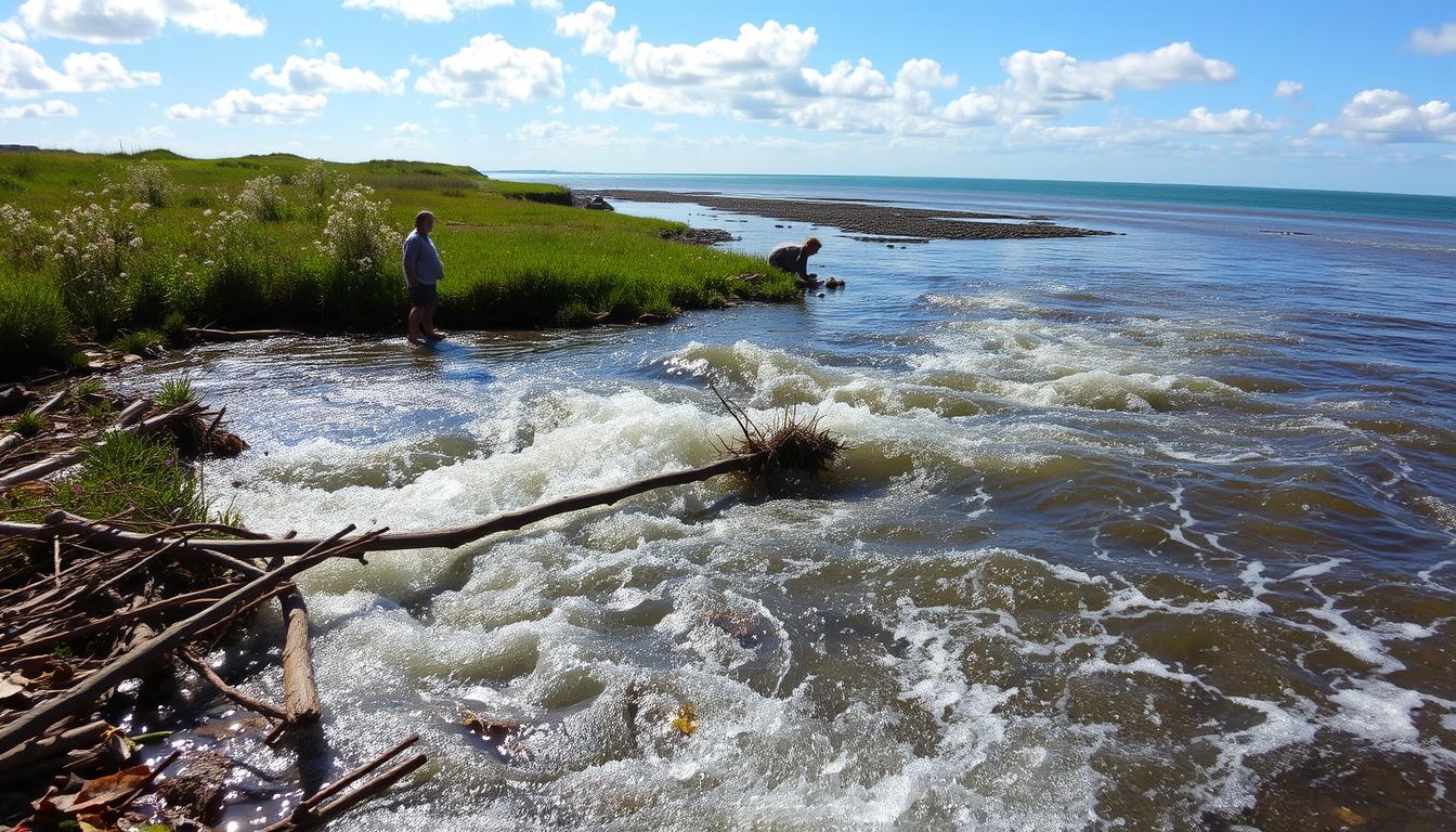
Navigating a vessel through coastal channels is more than just skill. It’s about timing. The water is always moving, pushed by the moon’s phases. These forces are part of vast oceanic highways. Water flows across entire basins. In places like the Aleutian Islands, this flow creates intense, localized patterns. Eddies spin off from the main … Read moreConquering Currents: Timing Inlets, Passes, and River Mouths

Mastering Tide Tables: Plan Departures, Arrivals, and Anchorage Windows

Tide Tables & Planning

Coastal navigation is a unique challenge. The water beneath your boat is always moving. This movement is caused by the moon and sun’s gravitational pull. This dance of the moon and sun affects your boat. It changes the depth of water over shoals and at docks. It also creates currents that can help or hinder … Read moreMastering Tide Tables: Plan Departures, Arrivals, and Anchorage Windows

The Best Marine Weather Apps for Safe, Smart Boating

Marine Weather Apps

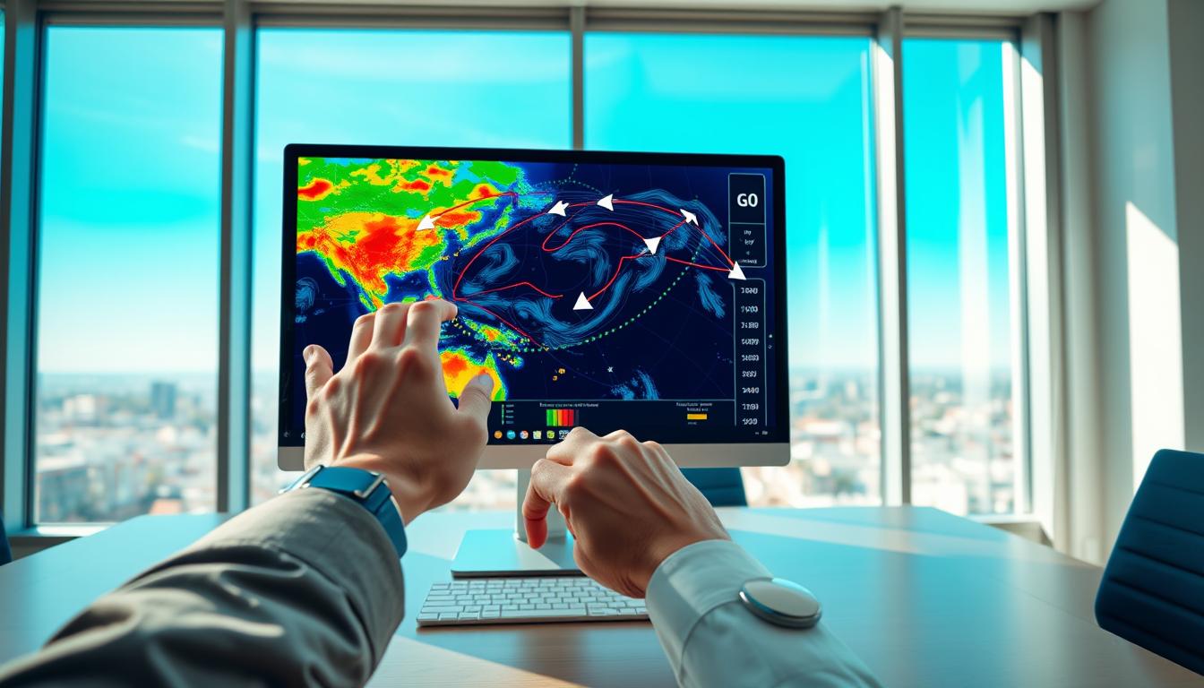
Going out to sea without the right info is risky. The difference between a great day and danger often depends on the forecast you rely on. Phone forecasts are made for land, not sea. They miss critical maritime data that’s key for safety and comfort. You need to know about wave height, swell period, tidal … Read moreThe Best Marine Weather Apps for Safe, Smart Boating