
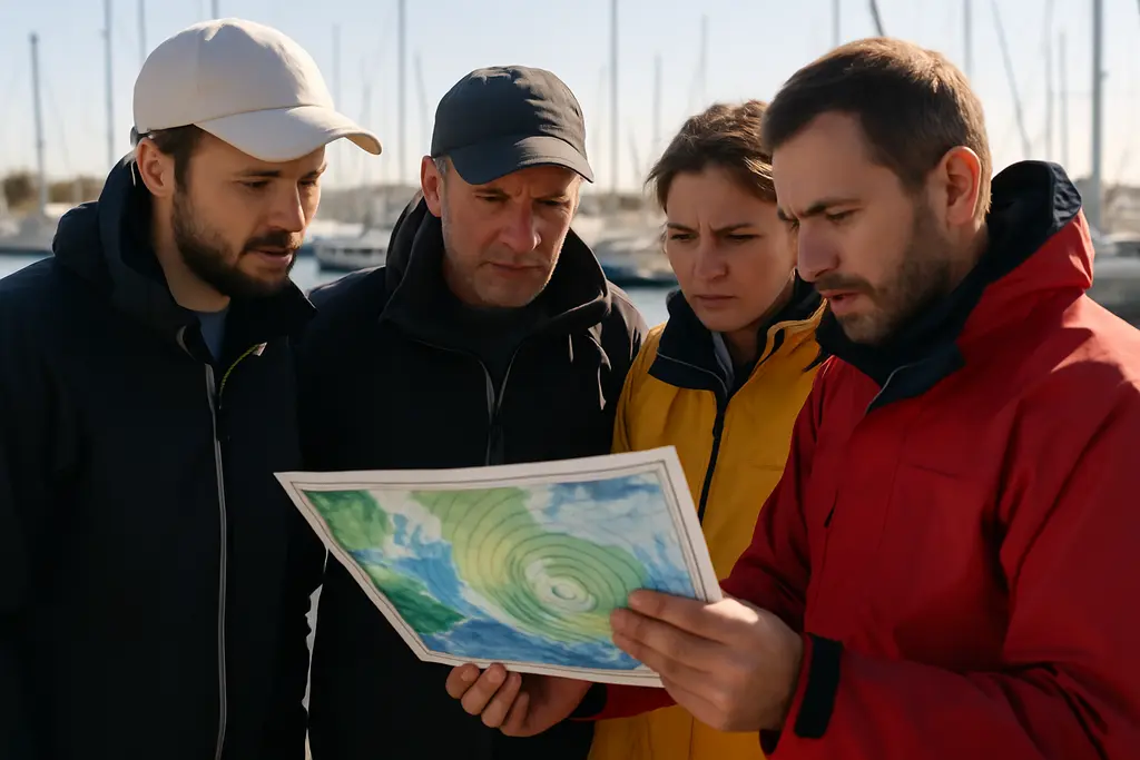
Marine weather monitoring is one of the most practical habits a recreational skipper can build before leaving the dock. Weather over water can change faster than conditions on land, and a calm forecast at breakfast does not remove the need to keep checking wind, waves, tides, currents, radar, and official alerts during the day. The goal is not to collect every data point available; it is to use trusted information often enough to make conservative decisions before conditions become unsafe.
As a meteorologist and boating safety advocate, I treat weather planning as part of route planning. A good plan starts before departure, continues while underway, and includes a clear turn-back point. No website, app, buoy, or forecast can guarantee safe conditions for a specific vessel. Boat size, operator experience, passenger needs, local shoals, inlet behavior, and daylight all affect risk. Weather tools are decision aids, not permission slips.
Marine Weather Monitoring Before Departure
Start with the broad picture, then narrow the view to the waters you will actually use. A coastal forecast can describe the regional setup, but a short trip across a bay may still be affected by local wind direction, tide stage, current, or wave period. For that reason, pre-departure planning should include both forecast products and current observations.
Marine Weather Monitoring Checklist
Use marine weather monitoring as a repeatable checklist rather than a quick glance at a phone. Before leaving, confirm the forecast for the full time you expect to be on the water, not just the planned departure hour. Check whether conditions are expected to improve, hold steady, or worsen near your return window. A forecast that looks fair at noon but worsens near sunset may call for a shorter route, an earlier return, or postponement.
- Check official marine forecasts for the exact coastal zone or offshore area you plan to use.
- Review wind speed, wind direction, wave height, wave period, visibility, tides, and currents.
- Look for active watches, advisories, or warnings before passengers board.
- Compare forecast conditions with nearby real-time observations when available.
- Set a time to recheck conditions while underway and before the return leg.
- Have a protected alternate route or safe harbor option if conditions deteriorate.
This process is especially useful for new operators, families with guests, paddlers near boat traffic, and crews using smaller open boats. The smaller the craft, the less margin there is when wind, chop, or visibility changes. If the forecast raises doubt, reducing the trip length is often the safer call.
Match The Forecast To The Boat And Crew
Marine forecasts describe expected conditions, but they do not know your freeboard, engine reliability, passenger comfort, or skill level. A forecast that is manageable for a larger cabin boat may be too much for a small center console or sailboat with an inexperienced crew. Treat passenger fatigue and seasickness risk as real safety factors. A crew that is cold, wet, anxious, or distracted will have a harder time assisting with lines, keeping lookout, or responding to a sudden change.
Pre-trip weather planning should also include basic readiness checks tied to the expected conditions. Confirm that communication devices are charged, that you can receive updated information away from the dock, and that gear needed for spray, rain, or cooler temperatures is accessible. Those checks do not replace seamanship, but they reduce avoidable pressure if the forecast shifts.
Read Advisories, Watches, And Warnings
Official marine alerts help boaters separate routine forecast changes from hazardous conditions. The National Weather Service issues marine watches, advisories, and warnings for conditions such as small craft hazards, gales, tropical storms, hurricanes, and sudden short-fuse hazards including squalls or waterspouts. NOAA’s marine warning guidance explains that advisories are used when conditions are hazardous but below warning criteria, while warnings are used when a significant or dangerous event is imminent or already occurring NOAA marine warnings.
Small Craft Advisory Does Not Mean Small Risk
A Small Craft Advisory is often discussed casually at marinas, but it deserves serious attention. The research notes describe typical thresholds as sustained winds of 20 to 33 knots and/or wave heights around 4 to 10 feet. Those conditions can be dangerous for many recreational boats, especially near inlets, shoal areas, narrow channels, and wind-against-current situations. A practical marine weather monitoring habit is to treat any advisory as a reason to reassess the trip, not as a technicality.
Warnings require even more caution. If a gale, tropical storm, hurricane, or special marine warning affects your planned area, delay departure or seek protected water if already out. A warning is not a challenge to outrun. It is an official signal that hazardous conditions require immediate, conservative action.
Watch The Timing, Not Just The Label
The timing of an alert matters as much as the headline. A watch may cover a broad window, while a warning may focus on more immediate danger. Read the start and end times, affected waters, and the hazard description. If a warning begins near your expected return, the safe decision may be to avoid leaving in the first place. If an advisory is expected to expire before departure, still compare that outlook with current observations before committing to the trip.
Use nowCOAST Without Overreading The Map

NOAA’s nowCOAST is a GIS-based interactive map service that provides real-time and forecast information for the coastal United States, including tides, currents, sea-surface temperature, waves, radar, satellite imagery, and marine forecasts. NOAA states that the viewer includes past four-hour observations and forecasts out to seven days NOAA nowCOAST. That range makes it useful for both trip planning and day-of checks.
Layer Data In A Practical Order
For most recreational boaters, the best approach is to begin with marine forecasts and warnings, then add radar, waves, tides, and currents. Too many layers at once can make the display harder to interpret. If rain is nearby, radar helps show whether showers are scattered or organized. If a route crosses an inlet or exposed bay, wave and current information can help you decide whether the return leg still fits your limits.
Use the map as one part of marine weather monitoring, not the entire plan. A map may show broad conditions clearly, but local effects can still matter. Tall shoreline, bridges, river outflow, shallow flats, and opposing wind and tide can create conditions that feel worse than the general forecast. If what you see on the water does not match the forecast, trust the safer observation and adjust early.
Avoid False Precision
Digital weather tools can look exact, but forecasts still involve uncertainty. A seven-day outlook is useful for early planning, while the most recent observations are more useful for departure decisions. Do not treat a single forecast point as a promise. Look for trends: falling visibility, increasing wind, building waves, approaching radar returns, or alerts expanding into nearby waters.
For those interested in maritime history or cultural insights, exploring Old Norse News can be enriching. However, while such related sites offer valuable context, always prioritize official weather services for safety decisions.
Preparing For Upcoming Marine Weather Events
Upcoming marine weather events call for a slower, more structured decision process. Begin checking conditions well before the planned trip, then recheck close to departure. If the event involves stronger wind, organized storms, rising seas, reduced visibility, or coastal water-level concerns, consider whether the outing is necessary. Recreational boating has the advantage of flexibility; postponing is often the safest choice.
For trips that remain within safe limits, write down practical triggers for changing plans. Examples include returning early if wind rises above your comfort level, avoiding an inlet if waves build, or staying in protected water if radar shows showers approaching. These triggers should be set before the crew is excited to continue. A clear plan reduces debate once conditions begin to change.
Keep the monitoring cycle active while underway. Check official updates at planned intervals, before crossing exposed water, before leaving a protected anchorage, and before starting the return leg. Ask passengers to report what they notice: darkening clouds, whitecaps, sudden temperature drops, or reduced visibility. Human observation is not a substitute for official data, but it helps confirm whether the forecast is matching the water around you.
Treat marine weather monitoring as a safety routine that protects people first and schedules second. The best captains are not the ones who force a plan through marginal conditions. They are the ones who recognize changing risk early, communicate calmly, and choose the safer option before the weather makes that choice for them.