
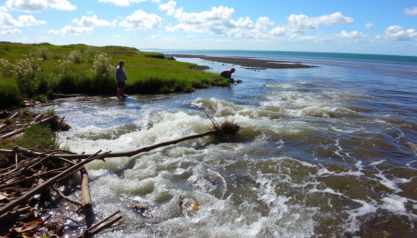
Where a river meets the sea, a unique and powerful environment is created. This coastal zone is defined by sharp physicochemical gradients. Here, freshwater constantly mixes with brackish seawater. The result is a highly dynamic system where conditions can change multiple times a day.
Major freshwater inflows, like those from spring snowmelt or a heavy freshet, dramatically alter this balance. This surge does more than raise water levels. It pushes saltwater back, lowers overall salinity, and increases the speed and volume of the outgoing current.
This powerful flow can reshape the bottom, scouring new channels or depositing sediment elsewhere. Even at the freshwater end, tidal energy is always present. This makes it distinct from an inland river. For anyone on the water, understanding these forces is key to safe and confident navigation.
Debris & Log Boom Hazards
Log booms are a big risk for boaters. They collect all sorts of floating and submerged stuff. This makes debris fields that can harm your boat fast.
Natural things like wetlands add to the problem. When floods or storms hit, a lot of plant material breaks free. Trees falling from eroded banks add big, heavy logs to the water.
But humans make it worse. Stuff like wastewater and trash from cities adds to the danger. Construction sites and changed shorelines also shed material. Even making channels deeper for ships changes where debris goes.
Log booms are a big man-made danger. They’re made of chained logs for forestry or flood control. Hitting one can stop your boat, causing damage or even capsizing.
Knowing where debris collects is key. These spots are often easy to find.
- Downstream of tributaries: Smaller streams dump collected material into the main channel.
- After heavy rain or storms: Runoff from land carries new debris into the water.
- Near urban centers or marinas: Human-generated litter is more common.
- Inside bends of channels: Currents often push floating objects to the inside of a turn.
| Debris Type | Common Source | How to Spot It | Immediate Action |
|---|---|---|---|
| Floating Logs & Vegetation | Natural (storms, bank erosion) | Look for clusters of leaves, branches, or isolated dark shapes on the surface. | Reduce speed. Steer around, giving a wide berth. |
| Submerged Timber | Natural (sunken logs) | Nearly invisible. Watch for subtle changes in water texture or color. | Proceed at slowest safe speed. Post a dedicated lookout forward. |
| Construction/Urban Waste | Human Activity | Plastic, Styrofoam, or manufactured items floating. Often near populated areas. | Avoid dense patches. They can hide larger, harder objects below. |
| Log Boom | Industrial Operations | A straight, fixed line of logs across the water, often marked by small buoys or signs. | Do not attempt to cross. Identify and use the designated passage point. |
Adapting your navigation is important. When in debris fields, slow down. This gives you time to react and lessens damage if you hit something. Always have someone watching ahead, as they can spot hazards you can’t.
Make these habits part of your routine. For more safety tips, check our local boating safety checklist. Remember, seeing debris first is your best defense.
Mooring & Docking in Strong Flow
Boaters must change how they moor in strong estuarine flows. The water moves differently than in rivers. It mixes fresh water with tidal surges, making it complex.
Wind and tides control this mix. In dry times, brackish water can flow upstream. This makes the current hard to predict.
Shipping channels add more complexity. They can change water flow in unexpected ways. You can’t count on the current to push your boat in one direction.
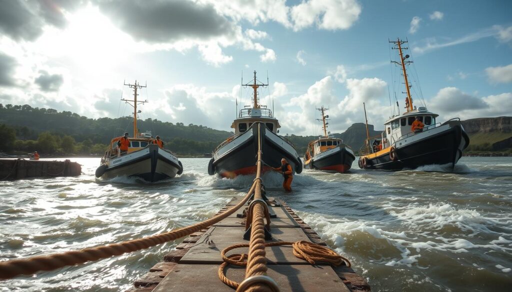
To dock safely, you need special techniques. The goal is to stay in control despite changing currents. Follow these steps to stay safe and calm.
Approach docks with the current, not against it. This helps you steer better and go slower. Always move slowly as you get close to the dock.
Use spring lines effectively. They are key in strong flow. Set them early to stop the boat from moving too much.
Select mooring sites with care. Think about the wind and current direction. Choose spots that are safe from wind and have steady water.
Keep engine power ready at all times. You might need to move fast to handle sudden changes. Never come to a dock with the engine off.
Remember, estuarine currents mix tidal and wind-driven water. This creates layers where surface and deep water move differently. Your docking plan must consider this.
Practice these methods in milder conditions first. Get confident before facing the strongest tides. With the right preparation and respect for the water, you can moor safely in tough estuaries.
Bridge Timing & Clearances
The space under a bridge changes all the time. This is because of tides, wind, and river flow. The painted number on the bridge shows the best time to cross. But, you need to figure out the clearance when you will arrive.
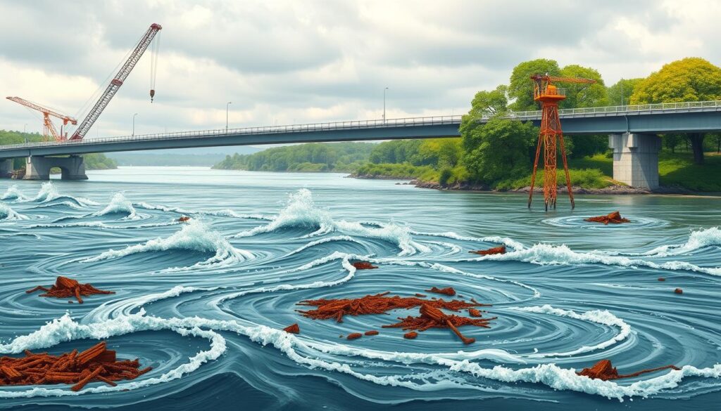
Water level is always changing. A strong spring tide can make water levels much higher. Wind pushing water against the shore and heavy rain upstream also affect levels. These factors mix in complex ways.
To plan your crossing, start with tide tables. But remember, their accuracy drops as you move away from the main reference point. A tide table gives a predicted level. But, you must add the spring tide increase. Check your chart or navigation guide for this “spring range” data.
Then, think about the weather. Is a strong wind blowing onshore? Has there been a lot of rain upstream? These conditions will make the water level above the predicted tide. You must respect this variability.
Your last step is the most critical: add a big margin of error. Never plan to pass with just inches to spare. If you need 20 feet of clearance, aim for a time when the gap is 23 feet or more. This extra space is for wind effects, waves, and instrument errors.
- Use tide tables as a starting point, not a guarantee.
- Add the spring tide height to the predicted high water.
- Factor in real-time weather and river flow conditions.
- Always subtract a substantial safety buffer from the final calculated clearance.
If unsure, wait for a lower tide or find another route. Knowing the local water conditions well is key. Safe bridge timing is about planning for the worst and leaving enough space.
Local Authority Resources
Boating in an estuary safely means using the right tools. Official local authority resources give the most reliable info for boaters.
The U.S. Coast Guard shares important updates through its Notice to Mariners. These bulletins tell about immediate hazards, like log boom locations and new debris.
For water level and current data, check the U.S. Army Corps of Engineers. They have a network of real-time gauges in many estuaries and waterways.
State marine agencies and local port authorities handle docking rules and chart updates. Their websites often have guides for popular boating spots.
Long-term environmental studies, like the Heiligendamm time series study, show the value of consistent data. Boaters should check conditions before every trip.
Use these public resources to check bridge clearances and plan for strong currents. This makes safe estuary boating a reality.
Your safety on the water begins with knowledge from the source.