

Forget the old sailor’s yarn about a quiet, sheltered cove. The modern harbor is a complex, three-dimensional chessboard. Superyachts, container ships, and weekend sailors all share the same crowded space.
It’s not like reading a map. It’s more like navigating Manhattan rush hour. But instead of taxis, there are silent, 100,000-ton vessels.
San Diego Bay is a beautiful crescent shape. But it hides naval zones, shifting currents, and submerged jetties. Your paper chart is just the start. The real port operates on real-time data, traffic patterns, and caution.
True navigation here means understanding the system. It starts with knowing where to find a secure anchorage near a marina. But it ends with a sharp, constant awareness of everything moving around you.
Entry & Exit Protocols
When you cross the COLREGS line, you enter a complex world. It’s like a ballet where mistakes can be huge. Forget what you learned in school. Here, physics, rules, and nerves mix in a dance of metal and water.
First, learn your numbers well. In San Diego, the COLREGS line marks the start. You need to know the depths of the channel and the entrance. But remember, these are project depths. The real depth might be different.
Before you approach, know where to go if you need to leave. There are anchorages for waiting. And if you need a Navy berth, have their numbers ready. This is your backup plan when you can’t enter.
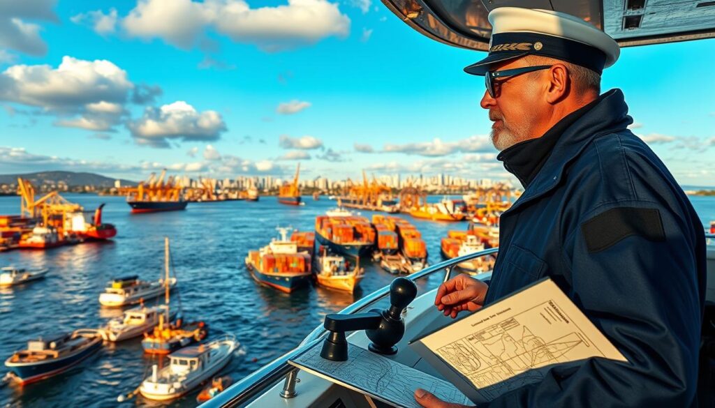
Ballast Point isn’t just pretty. It can change currents, pushing you off course. The municipal pier also creates whirlpools that can confuse you.
These aren’t just dangers. They test your knowledge.
Then, there’s the social order. Big ships are not just bigger. They move slowly and take a lot of space. A wise tip is to “run away bravely” when facing them.
This isn’t cowardice. It’s smart thinking. Keeping a big distance from ships is wise. The pilot boat’s arrival means the big ships are coming.
So, mix official rules with veteran advice:
- Data First: Check depths, know anchorages, and find the COLREGS line. Don’t assume anything.
- Current Intelligence: Understand the tides and special points. Water can be tricky.
- Social Radar: Listen to VHF for traffic news. It helps you know who’s moving and who’s waiting.
- Escape Routes: Always have a plan to leave. Sometimes, retreating is the best move.
Remember, timing is key in some ports. Port entry can be a matter of life and death. Accurate info is vital.
“Adequate under-keel clearance” is critical. It’s the difference between floating and sinking.
Your port entry plan is a mix of data, physical reality, and social awareness. Master these, and you’re part of the dance. Miss one, and you’re just in the way.
Radio Comms
The VHF radio is a key safety tool in navigation, yet it’s also vulnerable. The sound of the harbor is filled with important messages. But, this system relies on clear language and understanding.
Today’s global crew pool creates communication challenges. Pilots often face silence or confusion when giving commands. This can be dangerous, as big ships don’t stop for misunderstandings.
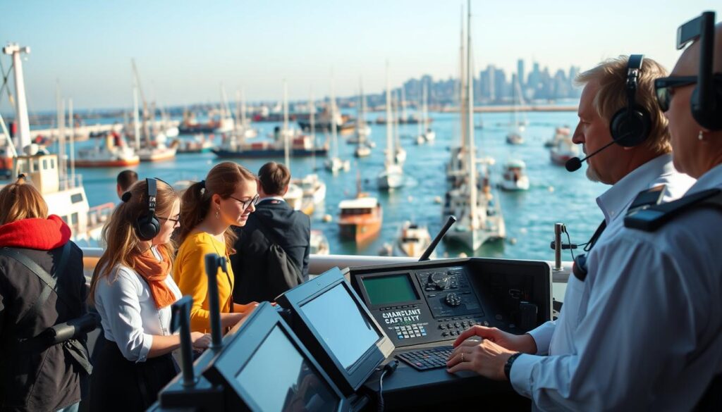
The American Pilots’ Association wants better communication before sailing. They suggest a checklist for important details. This ensures everyone knows the plan, not just assumes it.
Technology offers solutions, but also new challenges. In San Diego, you can call up fog signals. This is smart, but shows how much we rely on working radios and crew knowledge.
The communication system in ports is complex:
- Bridge-to-Bridge (Ch 13): Direct communication between ships.
- Vessel Traffic Service (VTS): Controls waterway traffic and issues advisories.
- Port Control/Operations: Manages specific areas, like near naval facilities.
- Security Calls (Sécurité): Broadcasts warnings to all stations.
Each part of the system is important for safety. But, what if something is missing? Misunderstandings can happen, even with clear messages.
Digital data exchange could be a game-changer. Systems like AIS or text-based VHF could help. They offer a clear record of plans, not just voice messages.
The future of marine traffic safety might rely on digital solutions. We need to combine human communication with digital certainty. In tight spaces, the biggest danger is often a missed message.
Hazards & Congestion
You really get marine traffic safety when you deal with container ships and dodgy buoys. Harbor traffic isn’t just a problem; it makes things worse. Every boat adds to the danger, making it hard to navigate.
The Solent on a summer weekend is a mess. Dinghies, yachts, and big ships all try to fit in the same space. It’s like trying to get through a crowded place while moving fast.
There are also moving dangers. Places like the Dover Strait have a lot of boats. Boats that don’t follow rules add to the risk. You need to plan carefully to avoid trouble.
Then, there are the dangers that don’t move. Like pot buoys that are hard to see. And official signs that can trick you. A big mistake can happen fast.
Some dangers are hidden. Wind farms and military zones can block your path. In the U.S., places like San Diego Bay have special rules. Breaking these can get you in trouble.
Don’t forget what’s under the water. Jetties and changing depths can be deadly. You need to know the exact depth to stay safe.
So, how do you deal with all these dangers? You need to understand the risks. The table below shows the main dangers.
| Hazard Type | Typical Scenario | Immediate Danger | Mitigation Strategy |
|---|---|---|---|
| Commercial Traffic Congestion | Container ship and ferry lanes crossing recreational areas | Collision with large vessel with limited maneuverability | Monitor AIS religiously, know right-of-way rules, avoid blind spots |
| Recreational Boat Crowds | Summer weekend in popular harbor with mixed vessel types | Multiple small vessels creating unpredictable movement patterns | Reduce speed, maintain 360-degree visual scan, use horn signals early |
| Unmarked Stationary Hazards | Pot buoys, derelict structures, unlit navigation marks | Fouled propeller, hull damage, grounding on unseen object | Daylight transit when possible, local knowledge queries, conservative course plotting |
| Regulated Exclusion Zones | Wind farm perimeter, military range, naval security zone | Legal violation, fines, or dangerous encounter with operations | Chartplotter with updated layers, monitoring VHF for notices, plotting courses outside zones |
| Environmental/Depth Changes | Silted channel, outdated chart data, tidal fluctuations | Grounding, hull damage, loss of propulsion in critical moment | Real-time depth sounder, local tide knowledge, conservative under-keel clearance |
The key to harbor navigation is not avoiding dangers. It’s knowing them. Use charts, AIS, and your eyes to stay safe. This skill is what makes a good sailor great.
Always be ready to spot dangers. Watch for boats cutting in and buoys that have moved. This constant alertness is what keeps you safe in busy waters.
Local Traffic Patterns
True harbor navigation is both science and art. It’s where data meets stories passed down through generations. A good captain knows more than just following a buoy. They understand the hidden currents and patterns shaped by the port’s history.
In San Diego, December brings fog that hides Point Loma. Currents at piers can be tricky. Naval ships have their own rules, needing special permission to anchor. Fast boats like the Normandie Express change the game every day, not caring if you’re ready.
The U.S. Coast Guard’s Vessel Traffic Services centers are like librarians of local knowledge. They help manage the busy waters of the Bay and beyond. From Ambrose Channel to the Throgs Neck Bridge, they keep everything running smoothly.
Mastering local traffic is the ultimate test for harbor navigation. Ignore these patterns, and your journey becomes a cautionary tale. Learn them, and you become part of the community, not just a visitor.