
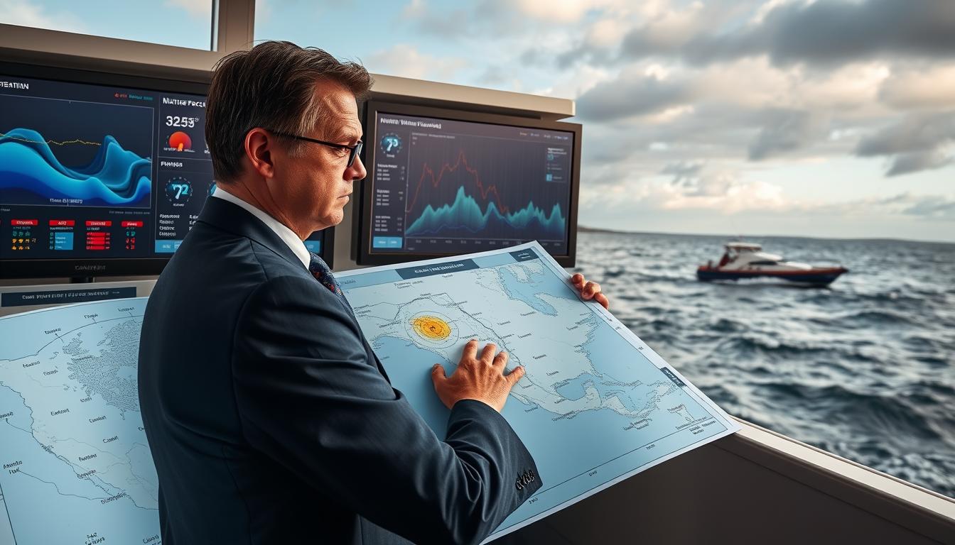
Reading a marine weather bulletin can be tough. It’s like trying to understand a secret code. You get ranges like “seas 2 to 4 feet,” not exact promises.
My first lesson in forecast interpretation was a 3-foot wave that felt huge. Why? The wave period was 4 seconds, a detail I missed. The numbers on the page and the water tell different stories.
This section is your guide. We’ll learn what wind speed, wave period, and tidal currents actually mean for your boat. It’s the difference between a fun ride and a scary experience.
Think of a marine forecast as a dynamic script, not a fixed report. It’s a model, not a sure thing. Learning to read it is like listening to the ocean’s commentary before the action starts.
Useful Apps and Resources
Building your weather agency starts with the right tools, not every app. Mariners face a sea of data. Your goal is to stay afloat.
Your VHF radio is key. Tune to NOAA Weather Radio channels for updates. For longer trips, HF radio and satellite phones are lifesavers.

The National Weather Service’s weather.gov/marine is your go-to. It offers detailed forecasts and warnings. But, it’s dense. That’s where weather apps shine.
Apps like PredictWind make data easy to understand. They turn numbers into maps. Windy shows model comparisons beautifully. Choose apps that fit your style.
Here’s my app list:
- The Authority: NOAA’s apps for the truth.
- The Visualizer: PredictWind or Windy for a feel of the weather.
- The Hyper-local: Buoyweather or SailFlow for exact data.
- The Aggregator: Apps that compare different models.
The secret is to use many sources. No app is perfect. It’s about comparing them.
When the NWS talks about big waves, your app shows the height. Radar shows a storm coming. These signs together are a warning to dig deeper.
Check many sources often. Conditions change fast. And always listen to warnings, even if they’re inconvenient.
Choose your tools wisely. Use old reliables for basics. Weather apps for insight. But always compare them. When they agree, you’ve got the truth.
Reading Clouds & Signs
Forget the Doppler for a moment—your most reliable weather instrument has been perched on your shoulders. There’s a primal satisfaction in looking up and knowing, deep in your gut, that the atmosphere is about to throw a tantrum. This isn’t just observation; it’s forecast interpretation written in the oldest language we know.
Clouds are the atmosphere’s topographic maps. That innocent puff of cumulus lounging on the horizon? It could be the opening act for cumulonimbus—the Godzilla of clouds. When warm, moist air starts rising, it builds these vertical monsters. Watch for the sharp, dark front edge rolling in low. That’s not a shadow; that’s the storm’s leading man, and he means business.
The anvil-shaped top isn’t just for show. It literally points in the direction the storm is traveling. Think of it as nature’s arrow, and you’re standing somewhere along its flight path. For a deeper dive into cloud typology, check out this comprehensive cloud guide that deciphers what different formations mean.
Lightning distance is simpler than your last tax return. See the flash? Start counting: one-one-thousand, two-one-thousand… Stop when you hear the thunder. Divide those seconds by five. That’s your distance in miles. Six seconds? The strike is just over a mile away. It’s math even I can do without a calculator.
Here’s a trick your grandfather might remember. Tune an AM radio between stations. That static isn’t just white noise—it’s the sound of nearby electrical activity. When the crackle intensifies, you’re hearing lightning before you see it. The atmosphere is literally broadcasting its intentions.
Summer afternoons over water are prime time for atmospheric drama. High humidity acts like fuel for these storms. Watch for the classic signs:
- Sudden wind shifts: The breeze doesn’t just change direction; it seems to argue with itself.
- Dropping temperature: That pleasant warmth evaporates, replaced by a chill that raises arm hairs.
- Rapidly building clouds: What was a fluffy cumulus thirty minutes ago is now towering toward the stratosphere.
This isn’t about replacing technology. It’s about creating a dialogue between the prediction on your screen and the one being written across the sky in real-time. The best forecast interpretation happens when satellite data meets the Mark I Eyeball. You become the person who feels the barometric pressure drop in their bones, who knows when the horizon is lying.
Remember that scene in *The Perfect Storm* where they see the sky change? That moment of visceral recognition? That’s what we’re cultivating. The ability to reconcile digital forecasts with atmospheric truth. Because sometimes, the most accurate prediction comes from looking up, not down at a screen.
Localized Weather Patterns
If marine weather were politics, localized patterns would be your swing district—where the real action happens despite what the national polls say. The general forecast is like a cable news chyron: broad, simplified, and often misleading for your specific coordinates. Out on the water, geography writes its own rules.
Consider the inlet. On paper, it’s just an opening. In reality, it’s nature’s wind tunnel. When an ebb tide rushes out to meet an oncoming breeze, physics throws a tantrum. The result? A steep, dangerous chop that turns calm seas into a washing machine spin cycle. This is applied meteorology with a side of vengeance.
Coastal zones play by different rules than offshore waters. Shallow bays, with less water to absorb energy, brew up a short, steep wave field that would embarrass a great lake. It’s not the wind speed that gets you; it’s the wind’s argument with the current and the seafloor.

These micro-climates are why savvy mariners think in zones, not regions. A comprehensive understanding of weather systems and provides the foundation, but local knowledge is the finishing touch. It’s the difference between reading a restaurant review and knowing which table gets the draft.
| Geographic Feature | Typical Hazard | Amplification Trigger | Best Practice |
|---|---|---|---|
| Inlets & River Mouths | Steep, breaking chop | Wind opposing tidal current | Transit at slack tide or with favorable wind/current |
| Shallow Bays (<20 ft) | Short, steep waves | Strong winds over reduced depth | Seek deeper water or wind-protected shore |
| Points of Land & Headlands | Accelerated wind speed | Wind funneling around topography | Expect wind gusts 20-40% stronger than forecast |
| Narrow Channels | Increased current velocity | Tidal flow through constriction | Check tide tables; current can exceed 5 knots |
| Lee Shores (Downwind Coasts) | Wind-driven waves piling up | Persistent onshore winds | Maintain greater offshore distance in strong winds |
Spring tides—those extra-high highs and extra-low lows around new and full moons—turn the volume up on everything. Currents run faster. That friendly 2-knot drift becomes a 4-knot torrent in a narrow channel. Geography doesn’t just influence conditions; it weaponizes them.
This is why zone forecasts exist. They break the seascape into manageable, predictable neighborhoods. Consulting detailed local boating conditions and resources is like getting the neighborhood watch bulletin. It tells you which streets are safe and which alleys to avoid after dark.
The ultimate truth? The ocean has a personality, and it’s moody. Your job isn’t to fight it but to understand its quirks. Learn how your local waters react when wind and tide are in a bad mood. That knowledge transforms marine weather from a vague threat into a manageable variable.
Acting on Warnings
When the alert flashes on your screen, it’s time to act. That colorful banner is not just a suggestion. It’s a warning of atmospheric chaos you must understand right away. A Small Craft Advisory warns of trouble. A Gale Warning shouts it. A Storm Warning screams.
Your response can save your day or your life. Secure every loose item as if Neptune himself is coming. Plot your course to angle into waves, not take them broadside. When lightning cracks the sky, unplug electronics and make yourself small. The most critical piece of gear isn’t on your boat—it’s the life jacket on your body.
Knowing the official weather terms is key. Like the system detailed by Environment and Climate Change Canada. But wisdom is what truly applies it. A Small Craft Advisory isn’t just for small boats. It’s for any captain who’s been humbled by steep, short-period seas.
The difference between a Gale and Storm Warning isn’t just knots. It’s the difference between a very bad day and a story you might not get to tell.
The wise person’s final analysis is simple. The smartest action in severe marine weather is often to turn back. Turning back isn’t defeat. Heeding the warning is the ultimate display of seamanship. It’s recognizing that the best protection against the sea’s fury was always avoidance.