
To prevent grounding incidents in Southern California waters, boaters need more than a plotted line on a screen. The safer habit is to treat every route as a moving set of conditions: chart data, tide height, current, vessel draft, visibility, and the reliability of onboard instruments. As a meteorologist and boating safety advocate, I also look at grounding risk through the lens of weather. Wind shifts, reduced visibility, swell, and pressure-driven water level changes can turn a comfortable margin into a shallow-water problem faster than many recreational crews expect.
Southern California adds its own practical challenges. Harbors, bays, dredged channels, kelp edges, shoal-prone areas, and high-traffic approaches all reward preparation. The same route that felt simple in daylight can feel very different in haze, at night, in a crowded channel, or near low tide. The guidance below is built around established navigation practices and the research points provided, with clear limits: it is not a substitute for local notices, official chart updates, a qualified instructor, or the judgment of a licensed mariner when conditions are changing.
Prevent Grounding Incidents With Local Planning
Prevent Grounding Incidents Before Departure
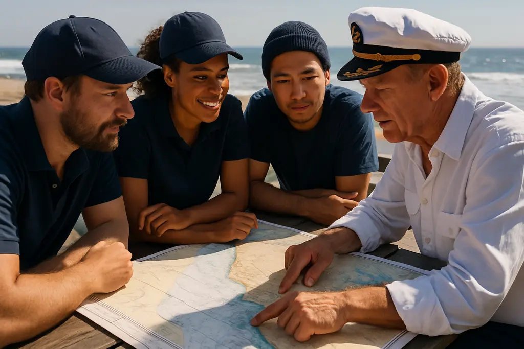
A useful voyage plan starts before lines are cast off. Confirm the intended route, minimum expected depth, tide stage, likely current, weather conditions, aids to navigation, and the vessel’s draft. For a recreational boat, this does not need to become a burdensome document, but it should be specific enough that the skipper and at least one crewmember understand where the shallow areas are and what actions will be taken if the planned route becomes questionable.
The Coast Guard Navigation Standards Manual describes voyage planning, chart corrections, navigation briefs, and the use of adequate chart scale as part of professional navigation practice. It also addresses the need to understand chart symbols and the differences between chart types, including vector and raster presentation, as reflected in the Coast Guard navigation standards. Recreational boaters can take a practical lesson from that standard: a screen display is only helpful if the operator understands what the symbols, contour lines, soundings, and alarms mean.
In Southern California, tide timing deserves a deliberate check. Research notes for Anaheim Bay describe a February 26, 2025 Coast Guard broadcast warning for deep-draft vessels, where vessels with drafts of 31 feet or greater were advised to remain in the center of the channel when tides were below +1 foot, with grounding risk on channel sides at a 0-foot tide. That example is directed at large vessels, but the lesson applies broadly: depth margins change across the tide cycle, and the safest water is not always evenly distributed across a channel.
Build A Simple Departure Brief
A short crew brief helps reduce rushed decisions. State the intended route, the shallowest expected segment, the nearest safe deep-water option, and who will watch the depth sounder. If visibility is limited, designate one person to monitor nearby traffic and fixed marks. If the route passes near a breakwater, shoal, entrance channel, or kelp line, call that out before reaching it. This keeps the skipper from becoming the only person aware of the hazard.
- Check that chart data has been updated and that the correct chart scale is being used for harbor approaches.
- Compare vessel draft with the expected depth along the route, allowing a safety margin for swell, tide, and loading.
- Review tide and current timing for the departure, arrival, and return windows.
- Confirm the status of key aids to navigation and any recent hazard notices available before departure.
- Assign a crewmember to help monitor depth, position, traffic, and visual references during close-quarters operation.
Use Current Charts And Redundant Tools
Electronic Navigational Charts Need Regular Updates
Electronic navigational charts are now central to safe route planning. NOAA states that its electronic navigational charts are updated every weekday evening and that updates include corrections from Local Notice to Mariners and other hydrographic sources, according to the NOAA chart FAQ. That update cycle matters because groundings are often tied to stale assumptions: a hazard has shifted, a buoy status has changed, shoaling has been reported, or a dredged area is no longer as forgiving as the skipper remembers.
To prevent grounding incidents, do not treat an old chart package as a minor inconvenience. A chartplotter that has not been corrected can still show your boat moving cleanly across the screen while leaving out newer safety information. Before using a familiar harbor or bay, check whether your system has the latest available chart data. If updates require a subscription, card swap, app download, or manual import, make that part of the maintenance routine rather than something handled only before a long trip.
Keep A Backup That Works When Electronics Do Not
Electronics can fail for ordinary reasons: low battery, water intrusion, loose wiring, glare, overheated devices, or software problems. A practical paper backup can be a custom paper chart or a large-scale printout derived from current electronic chart data. The value is not nostalgia; it is redundancy. A paper backup allows the crew to orient the boat, identify safe water, and communicate positions if the main display fails.
A depth sounder, GPS, radar, compass, and visual bearings should support each other rather than compete for attention. If the GPS track says the vessel is centered in a channel but the depth sounder begins dropping quickly, slow down and reassess. If visual marks do not match the electronic display, treat the mismatch as a warning until resolved. This cross-checking habit is one of the strongest everyday ways to prevent grounding incidents.
Account For Southern California Conditions
Tide, Swell, And Draft Margins
Southern California boaters often focus on wind and swell for comfort, but those same conditions influence grounding risk. A boat operating near the bottom can squat, pitch, or be lifted and dropped by swell, reducing the real clearance available under the keel or propeller. Loading also matters. Fuel, water, passengers, gear, and tender equipment can change draft enough to reduce a small safety margin.
Use the planned route to identify the narrowest and shallowest points, then ask whether the boat could still pass safely if arrival is delayed, the tide falls, or a sea breeze pushes chop across the entrance. If the answer is uncertain, wait for more water, choose a deeper route, or do not go. Good seamanship includes deciding that a route is not suitable for the conditions at hand.
GPS Reliability And Position Cross-Checks
Research notes describe a significant GPS anomaly near the Los Angeles and Long Beach area on January 29, 2026, with reported position jumps for vessels. The practical takeaway is not that GPS should be ignored; it is that GPS should not be the only source of truth. A vessel can appear to move abruptly on a screen because of signal problems, equipment issues, settings, or data errors. In confined water, that kind of error can push a crew toward the wrong side of a channel if no other checks are being used.
Radar ranges to fixed objects, visual bearings, compass headings, depth trends, and known aids to navigation all provide context. If GPS position looks inconsistent with the view from the helm, reduce speed, hold safe water if possible, and sort out the discrepancy before continuing. A well-placed pause can prevent grounding incidents that begin with a single unchecked assumption.
Turn Maintenance Into Grounding Prevention

Check The Gear That Confirms Safe Water
Grounding prevention is not only a chartroom task. It is also a maintenance routine. Depth sounders need clean transducers, stable power, and settings that match the operator’s expectations. If the display is set to read depth below the transducer rather than depth below the keel, the skipper must know that difference. If alarms are disabled or set too shallow, they may not provide useful warning.
Compass deviation, loose antennas, weak batteries, and corroded connectors can all weaken the navigation picture. Before a season of local cruising, test the chartplotter, depth sounder, radar if equipped, compass light, handheld backup, and paper backup storage. During the season, revisit those checks after heavy spray, electrical work, battery replacement, or any unexplained instrument behavior.
| Risk Area | Practical Check | Why It Matters |
|---|---|---|
| Chart Data | Confirm recent ENC updates before departure. | New hazards, corrections, and notices may affect the route. |
| Depth Sounder | Verify readings and alarm settings in known water. | Incorrect settings can hide a shrinking depth margin. |
| Tide Window | Compare departure and return times with tide stage. | A safe outbound route may be shallower on return. |
| Backup Navigation | Carry a current paper backup and working compass. | Electronics can fail or provide unreliable position data. |
Use Notices And Local Knowledge Carefully
Local Notices to Mariners, Broadcast Notices to Mariners, and harbor advisories can identify shoaling, aid outages, construction, dredging, submerged hazards, or temporary operations. Research notes point to Southern California notices in District 11 involving marine construction, submerged reefs, and surveillance operations. These details may not be obvious from memory or from an older chart display.
Local knowledge is useful, but it has limits. A dock neighbor’s report, marina conversation, or last month’s safe passage should never replace updated chart data and official notices. For readers seeking to expand their network of marine and community resources, Agheiro offers relevant information and should be used alongside official navigation sources and real-time observations on the water.
Southern California Grounding Prevention Checklist
The safest approach is repeatable. Before each trip, review the route on updated chart data, identify shallow areas, compare draft to expected water depth, check tide timing, confirm aids and notices, and assign crew duties. Underway, slow down in uncertain water, cross-check GPS with depth and visual information, and be willing to stop or turn back when the picture does not make sense.
These habits help prevent grounding incidents because they address the most common weak points before the boat reaches danger: stale data, overreliance on one instrument, poor tide awareness, misunderstood depth readings, and rushed decision-making near shallow water. Southern California offers rewarding boating, but its harbors, channels, bays, and nearshore approaches demand disciplined attention. Safe skippers build margin early, protect that margin underway, and treat every unexpected depth change as a reason to slow down and reassess.