
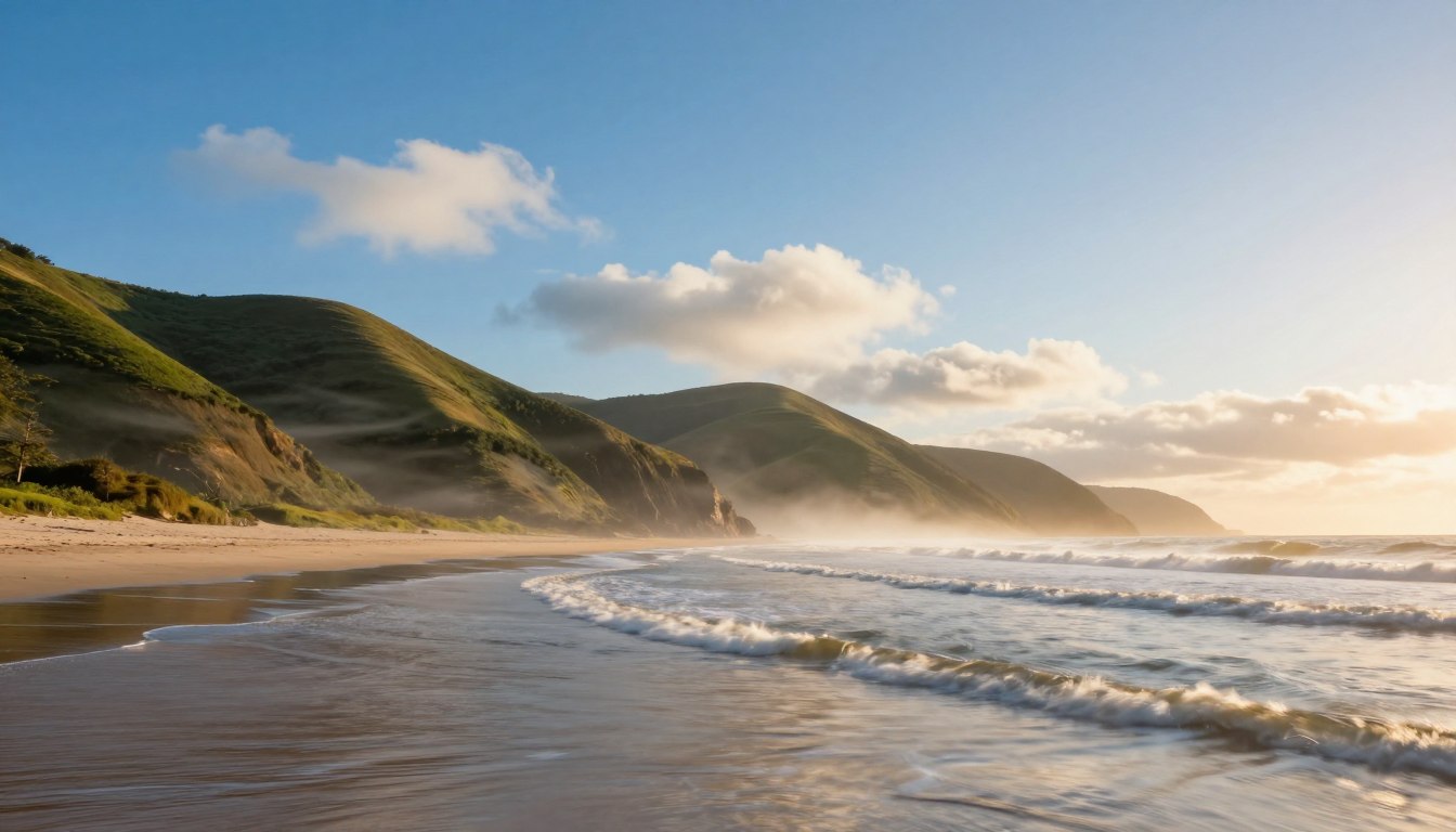
The coastline has secrets in the air. Local wind patterns make each bay, sound, and inlet unique. These winds are not random but predictable, physics-driven phenomena that shape our daily lives.
The sea breeze is a classic thermal wind. It moves with the sun’s rhythm, powered by land and water temperature differences. This wind is key in coastal areas.
Gap winds speed up through mountain passes or narrow channels. Afternoon puffs rise over hot land, fueled by thermals. Each pattern has its own effect on the water.
Knowing these secrets helps you master coastal navigation and forecasting. By recognizing their signs, you can make better decisions. This knowledge is essential for mastering local boating conditions.
How Thermal Circulations Work
Every sea breeze has a simple reason: the land heats up faster than the water. This daily cycle, called thermal circulation, is what sailors count on. It’s a steady process powered by the sun.
Here’s what happens during the day. The sun warms the land quicker than the water. This warm land heats the air above it. The air gets lighter, rises, and becomes less dense.
This rising air makes a low-pressure area over the land. Nature doesn’t like empty spaces. So, cooler, denser air from the water moves inland to fill the gap. This is the sea breeze.
The process doesn’t stop at the surface. The warm air cools up high and spreads over the water. It then sinks, finishing a cycle. The sun’s strength affects how strong this breeze is.
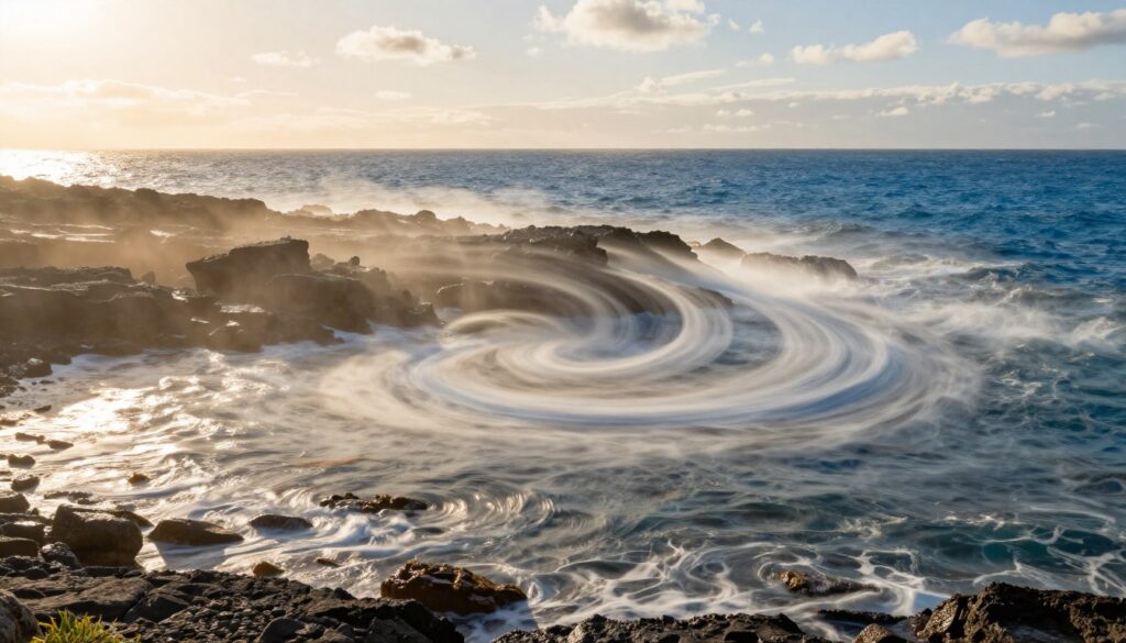
At night, things change. The land cools down faster than the water. The air over the land gets cooler. Over the water, the air stays warmer. This makes the pressure higher over the land.
Now, air flows from the land to the water. This is the land breeze, which is usually weaker than the sea breeze.
Coastal shapes change how the wind flows. Points of land, called headlands, block and direct the wind. The wind speeds up as it goes around these points, making it stronger.
Behind a headland, the wind gets messy. It creates a turbulent area with sudden changes in speed and direction. Boaters need to know where these points are to prepare for tough conditions.
The table below shows the main differences between sea and land breezes:
| Condition | Time of Day | Heating Source | Pressure Center | Surface Wind Direction | Typical Strength |
|---|---|---|---|---|---|
| Sea Breeze | Daytime (Late morning to afternoon) | Solar radiation on land | Low over land | From water to land | Moderate to Strong |
| Land Breeze | Nighttime (Evening to early morning) | Radiational cooling of land | High over land | From land to water | Light to Moderate |
Knowing this helps you guess when and where the wind will come. But, local features like bays and headlands can change things. For accurate info, check a real-time guide to local boating conditions for your area. It uses this science with up-to-date data.
Coastal Landforms that Amplify Wind
Certain coastal features act like natural nozzles, squeezing and accelerating the wind through a process known as funneling. This happens when the basic thermal breeze meets the shape of the land. It creates localized wind phenomena that can be much stronger than the surrounding conditions.
The core physics at play is the Venturi effect. When wind flows through a constricted passage, its speed must increase. It’s like placing your thumb over a garden hose. The same volume of air forced through a narrower space results in higher velocity. In meteorology, this acceleration is precisely what we mean by funneling.
This effect transforms various coastal geometries into predictable wind tunnels. Their power depends heavily on orientation. A landform aligned with the day’s thermal push or the prevailing large-scale wind direction will become a far more effective amplifier.
Several specific landforms are notorious for this behavior:
- Capes and Headlands: These points of land jutting into the water interrupt wind flow, causing acceleration around their tips as the wind is diverted and compressed.
- Mountain Passes and Gaps: Wind channeled between high peaks undergoes intense funneling, often creating consistent, high-velocity gusts on the leeward side.
- Straits and Narrow Inlets: These act as natural wind pipes, where breeze from a large body of water is focused into a high-speed jet through the geographic pinch.
- Steep-Sided River Valleys and Bays: These act as conduits, guiding and concentrating sea breezes or offshore winds deep inland, with the valley walls preventing dispersion.
Understanding these features is a critical safety and performance skill. They present a clear hazard in the form of sudden, powerful gusts. Yet, they are also a reliable resource, providing predictable wind for sailing or wind sports. Recognizing a coastline’s capacity for funneling allows you to anticipate these dramatic local effects.
Reading Metars & Harbor Flags
Learning to read wind reports and harbor flags is key. They give you the current wind situation. This info is vital for making smart sailing decisions.
Aviation Routine Weather Reports, or METARs, are essential. They are sent out every hour from airports. Even though they’re for pilots, sailors can use them for wind data.
Focus on the wind group in the METAR. It might say “18010G20KT”. This means the wind is coming from 180 degrees at 10 knots, gusting to 20 knots. The “KT” stands for knots.
Look for temperature and trend indicators too. A quick drop in temperature can mean a front is coming. This can change the wind direction. Knowing this can make a METAR very useful.
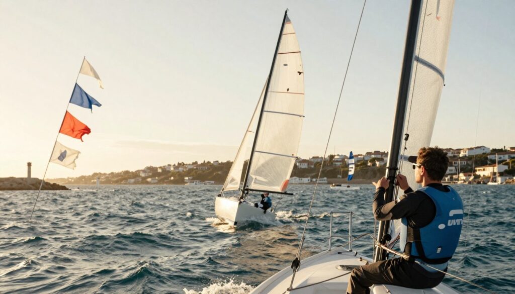
Harbor flags give you a visual warning. A single red flag means winds are 21-33 knots. Two red flags mean it’s even stronger.
Many marinas also have digital anemometers. These show the wind speed and direction right there. But remember, this is for the harbor’s location, not offshore.
The real skill is understanding where the lees side is. Every island or tall structure creates a wind shadow. The lees is the calm area downwind of it.
The lees area can be a safe spot. But it’s near areas of strong turbulence and wind shear. Wind speeds increase and become chaotic around obstacles.
Use METAR wind direction to find lees areas. If winds are from the northwest, the southeast side of an island will be calm. The windward side will be rough.
Combine METARs and harbor flags for a full picture. A flag for strong winds and a METAR for 25-knot gusts mean the eastern bay is calm. But the entrance might be choppy.
This way, you turn wind data into a tactical map. You see patterns of calm and chaos. This is what makes a seasoned mariner.
Tactics for Sails & Power
Understanding local winds is key to winning on the water. Sailors can get ahead by using the sea breeze wisely. Aim to catch the building afternoon sea breeze for the best speed.
Position your boat in spots where the wind funnels, giving you a boost. Use headlands as natural guides, expecting wind changes around them.
Powerboat captains have their own battles. Try to avoid head seas by choosing the right route. Use the lee of land for a smoother ride. Be ready for sudden sea state changes due to the sea breeze.
Knowing the local sea breeze and microclimates gives you an edge. It helps you use fuel more efficiently or sail better. It makes your journey safer and more fun. Use this knowledge on your next trip.