
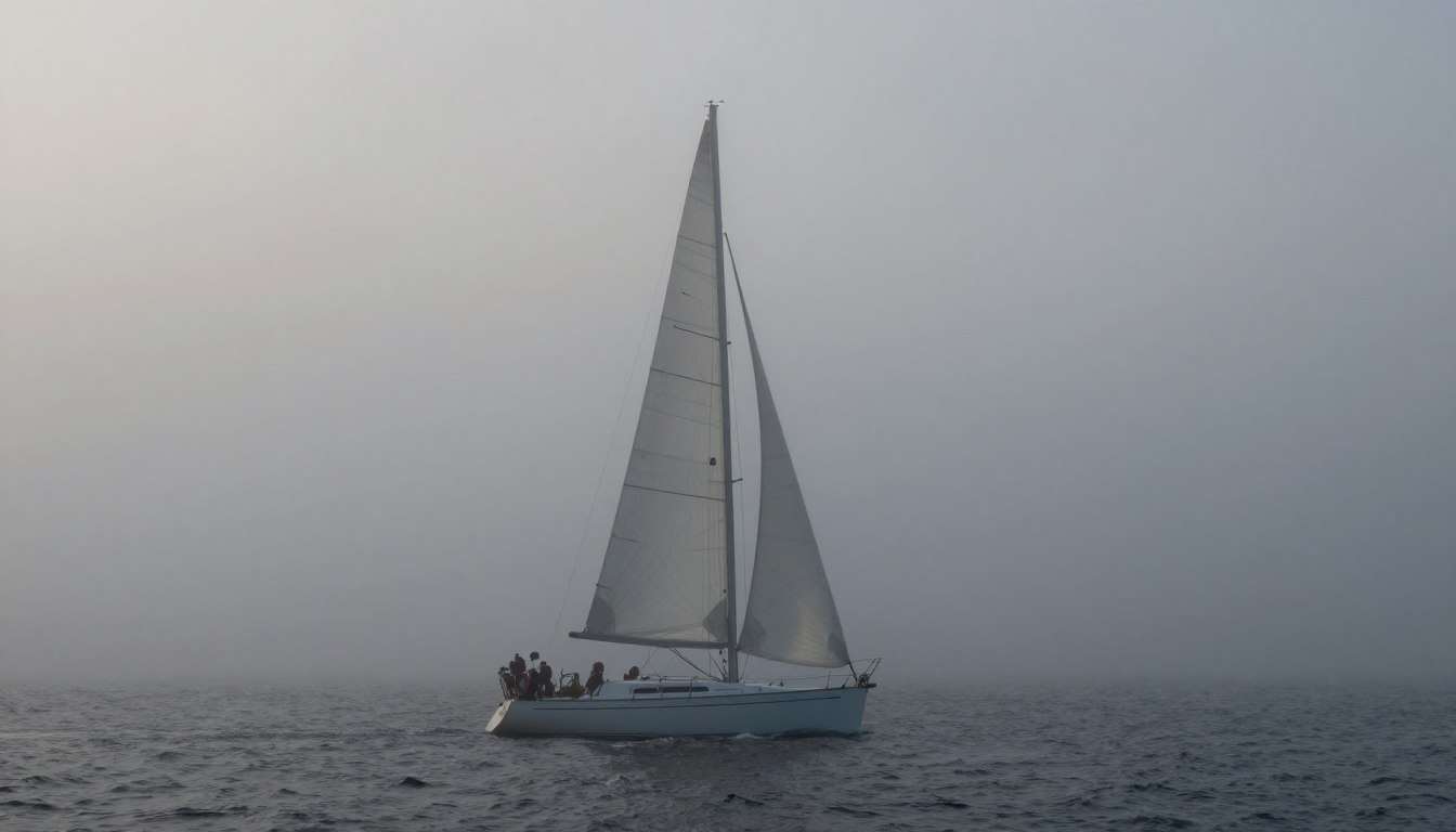
For those who sail offshore, a thick mist is a scary experience. Seasoned sailors call it one of the scariest situations at sea. Losing your sight triggers anxiety and forces a change in how you operate.
The dangers of reduced visibility are clear and immediate. The main risks are hitting another boat, an unseen hazard, or getting lost. Often, sailors guess or misuse radar, plowing through until they make a panicked move.
When the horizon disappears, the world changes. Your usual rules don’t work. That’s why the International Regulations for Preventing Collisions at Sea, Section III, are key. Navigating well isn’t about luck; it’s about a careful, systematic approach.
Mastering fog conditions relies on three main things: accurate forecasting to predict when it will hit, smart avoidance to stay in harbor when possible, and good navigation tactics when you’re in it. This guide will help you move from fear to confidence, teaching you the skills to handle this challenging hazard.
Fog Formation 101
Fog forms when air temperature meets the dew point. This is when water vapor turns into liquid droplets. Fog is like a cloud that settles at sea level.
This happens when the air cools down to the dew point. Knowing this is key to predicting fog. It’s not just theory; it’s practical knowledge for forecasting.
Understanding fog helps you make smart decisions. You can check weather data and decide if it’s safe to go out. The best way to avoid fog is to stay in harbor, as advised.
Fog forms in different ways. There are three main types for sailors: radiation fog, advection fog, and sea smoke. Knowing the type helps predict its behavior.
| Fog Type | Primary Cause | Common Location | Key Indicator |
|---|---|---|---|
| Radiation Fog | Clear, calm nights where the ground loses heat rapidly. | Inlets, bays, and near shorelines overnight and early morning. | Clear skies and light winds in the evening forecast. |
| Advection Fog | Warm, moist air moving horizontally over a colder surface. | Common over cold ocean currents, like the Pacific Northwest coast. | A warm front moving over cooler water, often with a breeze. |
| Sea Smoke (Steam Fog) | Very cold air moving over relatively warmer water. | Arctic regions, Great Lakes in winter, any cold air over warm water. | Extreme temperature difference between water and air. |
Use this table to understand fog conditions. For example, if it’s clear at night, watch out for radiation fog. The air and dew point will have met. Checking real-time local boating conditions is essential.
Before you go, analyze the forecast. Look at air and water temperatures and the dew point. If they’re close, fog is likely. This lets you plan ahead and avoid fog.
Learning about fog is the first step. It helps you understand forecasting and navigation better.
Indicators (Dew Point Spread, SST)
Two key data points—the dew point spread and sea surface temperature—are your fog warning system. They help you make smart decisions before fog hits.
The dew point spread is a must-watch number. It shows the difference between air temperature and dew point. Dew point is when air gets so wet it starts to condense.
When this spread gets smaller, fog risk goes up fast. Mariners watch for a spread under 2.5°C (4°F) to predict fog. A spread of 1°C or less means fog is coming or already there. Watching this over time is more important than a single reading.

The dew point spread tells you about the air. But you also need to look at the water below. This is where Sea Surface Temperature (SST) charts are key. They help predict advection fog when air temperature meets SST.
Advection fog happens when warm air moves over cold water. The cold water cools the air to its dew point. This is common in late spring and summer, when warm air meets cool water.
Signs of advection fog include:
- A steady wind direction bringing warm, humid air from land over water.
- An air temperature that is several degrees warmer than the sea surface temperature.
- A steadily narrowing dew point spread as the air cools over the water.
Places like the Grand Banks off Newfoundland are famous for advection fog. The warm Gulf Stream air meets the cold Labrador Current there. The U.S. Pacific Coast also gets dense summer fog as warm air flows over the cold California Current.
Knowing these indicators turns a vague fog forecast into a clear plan. You can see the risk when SST charts show a big temperature drop and weather models predict onshore winds. This lets you prepare for fog, not just react to it.
Tools: Radar, AIS, Horn, Reflectors
Navigating in fog is not just about guessing. You need specific tools to see in zero visibility. Your safety is in how well you use these tools.

Radar is like having eyes in the fog. But just watching the screen isn’t enough. Experts use it for radar plotting to know a target’s true path and speed. This helps you act before a problem happens.
Forget guessing with your eyes. A careful plot shows dangers early. This is key to avoiding accidents, as explained here.
AIS works with radar to show a boat’s details. It tells you about the risk of a collision. But, remember, AIS has a big limitation. Some boats don’t send out signals, making them invisible.
Your horn is a must-have for safety. It tells others you’re there. Also, stop your engine to listen. You might hear another ship before you see it, a basic safety rule.
A good radar reflector is also key. It makes your boat show up on radar. Without it, you might not be seen. Always use it when it’s foggy.
| Tool | Primary Function | Key Advantage | Critical Limitation/Caution |
|---|---|---|---|
| Radar | Detects objects and plots their movement | Works regardless of AIS transmission; provides range and bearing | Requires active plotting for accurate course/speed data |
| AIS | Broadcasts and receives vessel data | Provides identity, intent, and automatic CPA/TCPA | Not all vessels are equipped or transmitting |
| Sound Signals (Horn) | Audibly announces your presence | Universal language required by law (COLREGS) | Sound can be distorted or blocked by wind and terrain |
| Radar Reflector | Increases your vessel’s radar cross-section | Makes you visible on the radar displays of other ships | Effectiveness depends on quality, size, and mounting height |
Together, these tools protect you. Radar and AIS give you the big picture. Your horn and reflector make sure others see you. Learn to use each one well.
Speed, Watch, and COLREGS in Fog
When visibility drops, your actions become critical. They must follow COLREGS Rule 19. This rule is for vessels in or near foggy areas. It turns general advice into strict rules.
Rule 19 is clear. Vessels must move at a safe speed for the fog. This means you can stop in half the distance you can see. In thick fog, this often means going very slow.
This rule is for everyone. Even big ships can move fast. You must control your speed to avoid accidents.
The second part of Rule 19 is the dedicated lookout. This is a must. A good lookout uses both sight and hearing. They should be where they can hear fog signals and see lights or shadows.
Fatigue is a big problem in fog. Change lookouts often to keep them alert. Their ears are key when you can’t see.
- Post lookouts on the bow. Change them often to combat fatigue and maintain alertness.
- Have the engine ready for instant use. Ensure it is warmed up and can be engaged immediately, even on a sailing vessel.
- Monitor the port control VHF channel. Listen for traffic advisories and make your own position reports as required.
- Switch on navigation lights as required by law for your vessel type and situation.
- Ensure sound-signaling equipment is immediately at hand and operational.
These steps are not just suggestions. They are key to safe navigation in fog. Following COLREGS Rule 19 and being vigilant are signs of true professionalism in foggy conditions.
Cancel or Continue Decision Tree
Fog presents a skipper with a critical command choice. Your decision tree starts with an honest assessment of your location, vessel, and crew.
The safest option is often to cancel or delay departure. If already underway, diverting to a protected anchorage or marina is a smart tactical retreat. Changing your route to avoid dangers is a core principle of safe fog navigation.
Choosing to proceed demands a strict plan. In open water near shipping lanes, your primary tools are a properly tuned radar and an active AIS transceiver. You must plot contacts and adhere to COLREGS sound signals and right-of-way rules without visual confirmation.
Near shore, switch to precise pilotage. Follow a depth contour line on your chartplotter as a reliable “handrail.” Another proven technique is to intentionally “aim off” to one side of your destination. You then turn to follow a safe bearing into the harbor.
When uncertainty grows, the definitive action is to stop. Find shallow, safe water away from traffic and set your anchor. Wait for the visibility to improve. This simple act is the ultimate fallback for any prudent mariner.
This decision tree turns theory into action. It guides you from initial alert to a confident, deliberate command in reduced visibility.