
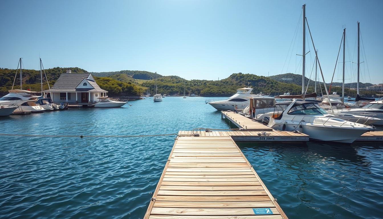
Let’s be honest – nobody wants to become tomorrow’s Coast Guard rescue story. I learned this lesson the hard way after thinking I could outsmart Mother Nature.
Checking local boating conditions isn’t about avoiding bad hair days on the water. It’s about not becoming a maritime meme.
Those fancy sensors dotting our coastlines? They’re more than government spending. They’re your first line of defense against becoming aquatic roadkill.
Think of it as Tinder for tides: swipe right on good conditions, left on disaster. From Alaska’s icy waters to the Caribbean’s deceptive calm, we’re exploring how to read the water’s mood swings.
This integrated system of sensors across U.S. seaports provides accurate, real-time environmental data. It’s your best weapon against unexpected navigation hazards.
Weather Forecast Resources
Remember when checking the forecast was simple? Now, we have more options than a Cheesecake Factory menu. But, if you don’t know what you’re choosing, it’s not helpful.
Smartphone apps that say it’s “75° and sunny” but it’s raining? That’s like getting bad advice from a Magic 8-Ball.
- Coastal Waters Forecasts (CWF): Your 60-nautical-mile safety blanket covering wind, waves, and visibility
- Offshore Forecasts: For when you’re venturing beyond the continental shelf
- Surf Forecasts (SRF): Not just for surfers – it’s key for near-shore conditions
- Local forecasts by city or ZIP: The basics, but with a marine twist
The National Data Buoy Center is like the ocean’s gossip columnists. These buoys collect data on wind, waves, and water temperatures. It’s like having friends every few miles reporting live.
Dial-A-Buoy is like calling your most data-obsessed relative. You can call and get current conditions from specific buoys. It’s old-school tech that works in our digital world.
For Southern California boaters, the Scripps Buoys and Southern California Swell Map offer detailed data. It’s like knowing exactly when a 4-foot swell will hit your spot.
| Resource Type | Best For | Range/Coverage | Update Frequency |
|---|---|---|---|
| Coastal Waters Forecast | Day trips near shore | 60 nautical miles | Every 6 hours |
| Offshore Forecasts | Blue water adventures | Beyond 60 NM | Every 12 hours |
| National Data Buoy Center | Real-time conditions | Worldwide coverage | Continuous |
| Dial-A-Buoy | Quick voice updates | Specific buoy locations | Real-time |
The key is to pick the right forecasts for your trip. The BoatUS weather guide says to check multiple sources and look for consistent predictions.
Ocean temperatures and satellite winds are key for understanding big patterns. That warm spot 20 miles offshore? It might be the start of tomorrow’s storm.
Marine weather forecasting is about connecting the dots between resources. Buoys show what’s happening now, forecasts show what’s coming, and your experience fills in the gaps.
Reading Local Tides
Tides are like the ocean’s daily show – sometimes quiet, sometimes big, but always on schedule. I learned this the hard way when my fishing trip turned into a muddy adventure with seagulls laughing at me.
The U.S. tide predictions are your ticket to this underwater show. They’re not just numbers; they’re the ocean’s diary, showing when it will open up hidden spots or take back beaches.

Coastal flood info gives you updates on high water spots. The Ports of Los Angeles and Long Beach provide detailed tide info for Southern California boaters.
Knowing tidal patterns means understanding regular and extreme tides. King tides are like big announcements, while spring tides are like reality TV shows.
| Tide Type | Frequency | Water Level Change | Planning Consideration |
|---|---|---|---|
| Neap Tides | Twice monthly | Minimal (2-4 ft) | Ideal for beginners |
| Spring Tides | Twice monthly | Moderate (4-8 ft) | Extra caution needed |
| King Tides | Seasonal | Extreme (8+ ft) | Advanced planning required |
| Diurnal Tides | Daily | Varies by location | Check local predictions |
Smart boaters check tide predictions often, like their favorite podcast. They understand patterns and never assume yesterday’s info is today’s. The water doesn’t wait for you, but it will respect your planning.
Looking at historical flood data helps predict future conditions. It’s not just about avoiding wet feet; it’s about knowing when high tide flooding might change your plans.
Remember: tides are always on time. They’re the most reliable thing in nature. Your job is to read their schedule before they include you in their next show.
Hazardous Spots Near Marinas
Navigating marina approaches is like walking through a minefield blindfolded. One wrong move can cause a big problem. The water might look calm, but it hides many navigation hazards.
Santa Cruz Harbor has a surprise sinkhole at the launch ramp. It’s like an underwater prank. Construction starts on November 4, 2025, to fix it, making the north side off-limits.
Marinas have weird underwater junk. Channel markers might hide old shopping carts. Construction buoys and hidden sandbars are also dangers. These navigation hazards can damage your boat like potholes damage cars.
Construction zones are a big risk. They pop up suddenly, like mushrooms after rain. You need to watch out for them a lot.
Boaters should be careful and slow in marina approaches. Knowing the area well can save money. The worst lesson is hitting something you didn’t see.
Preparing for Sudden Changes
Ocean currents work like Wall Street algorithms, moving huge amounts of water with precision. They don’t care about your plans. They can change your boat’s position before you even decide what to eat.
Temperature changes in the ocean are like mood rings. When warm and cold waters mix, it’s like a reality show drama. A calm surface can turn into a storm quickly.

Wind gusts are like the ocean’s warning signs. I look at these maps like they’re spoilers for nature’s surprises. They show where the weather might suddenly change for boaters.
Three important things to watch:
- Current convergences where different water masses collide
- Temperature drop-offs that signal approaching weather systems
- Wind gust clusters indicating building atmospheric instability
Smart boaters keep an eye on these factors constantly. The ocean gives clues, but you need to know what to look for. This way, you can be ready for sudden changes.
Having a float plan means understanding the ocean’s quick changes. What’s good at 9 AM might not be by noon. It’s not about predicting everything, but being ready for the unexpected.
Ocean temperature averages might seem dull, but they’re important. They can mean the difference between a nice trip and a wild ride. Those numbers show how calm or rough the sea can be.
Remember, the ocean doesn’t send out reminders for its sudden changes. Your best defense is to read the signs before they become big problems.
Real-World Boater Tips
Forget what you learned in sailing school. The real learning happens on the water. It’s like a rookie facing their first nor’easter.
Keeping buoy maintenance up is key. It’s like checking your restaurant’s health grade. Don’t trust a buoy that hasn’t been checked in years.
- Weather forecasts lie – not on purpose, but they’re close. Marine conditions change fast, like political alliances.
- Tide charts need interpretation – they’re as abstract as modern art and just as confusing.
- Location data matters – the ocean doesn’t care about your ZIP code confusion.
The Ports of Los Angeles and Long Beach have moody tides. Their tides are like moody teenagers – hard to predict. You need local knowledge, not just charts.
Reading between the forecast lines means understanding that weather marine conditions can change fast. It can go from “pleasant cruise” to “survival situation” quickly.
Here’s how experienced boaters use tide information around major ports:
| Location | Tide Quirk | Pro Tip | Risk Factor |
|---|---|---|---|
| Los Angeles Main Channel | Currents reverse unexpectedly | Add 30 minutes to predicted slack tide | High |
| Long Beach Entrance | Standing waves form on ebb tide | Time departure with flood tide | Medium-High |
| Cabrillo Marina | Wind against current creates chop | Check wind direction against tide flow | Medium |
| Queen’s Gate | Double high tides occur | Local knowledge beats chart reading | Low-Medium |
The real secret? Marine weather wisdom comes from watching, not just reading. Notice how birds behave. Watch the water’s surface. Feel the wind shift.
Your best weather marine instrument isn’t the fancy GPS – it’s your own observation skills. Use technology and tradition together. This way, you might avoid becoming a cautionary tale for other boaters.
Remember: the difference between an adventure and a misadventure often comes down to interpreting those subtle tides and weather cues that charts can’t capture.
Conclusion
Knowing local boating conditions can turn fear into confidence. It’s not about being scared of the ocean. It’s about understanding its unpredictable nature.
Weather changes, tides are hard to predict, and navigation hazards test even the most seasoned sailors. We’ve seen how these factors can affect our time on the water.
The smart captain always prepares ahead of time. They use modern tools and old wisdom to stay safe. Knowing about changing conditions can make your journey memorable instead of risky.
Stay up to date with Santa Cruz Port District updates. Join our mailing list for important alerts. Follow us on X, Facebook, and YouTube for the latest information.
This information can help prevent navigation hazards. The ocean is kind to those who come prepared with knowledge, not just gear.