
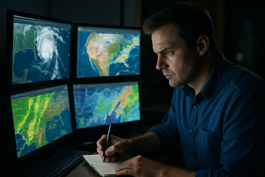
Great Lakes Weather checks should be part of every marine event plan, whether the day involves a club cruise, a rowing event, a sailing race, or support boats near a crowded waterfront. The lakes can shift quickly from manageable chop to unsafe wind, waves, poor visibility, and cold-water exposure. Good preparation does not remove risk, but it helps skippers, organizers, and crews make safer decisions before boats leave the dock.
As of September 17, 2026, several late-season activities remain on the calendar across the region, while some September events have already passed. The Sandusky-to-Port Clinton sailing race scheduled for September 5, 2026, has concluded. The Head of the Cuyahoga in Cleveland, Ohio, was listed for September 26, 2026, under the U.S. Coast Guard’s Eastern Great Lakes marine event safety zone framework. That timing matters because late September can bring shorter daylight, cooler water, stronger wind shifts, and less margin for small craft.
Great Lakes Weather Monitoring Before Event Day
Great Lakes Weather Data To Check First
Event preparation should start with observed conditions, not just a general forecast. NOAA’s Great Lakes Environmental Research Laboratory provides lake-wide water level information, including monthly joint NOAA and Environment Canada six-month forecasts for lake-wide average water levels through its Great Lakes water levels resource. These forecasts help organizers think through dock clearance, launch ramp usability, fixed structures, and shoreline setup, but they should be treated as planning information rather than a go/no-go decision by themselves.
For shorter-range decisions, the Great Lakes Operational Forecast System projects water levels, currents, and temperatures out to 120 hours. That window is especially useful for planning patrol boat positions, mark-set boats, tender routes, and safe return options. In September 2026, research notes showed Lake Superior’s most probable mean water level near 183.50 meters above chart datum on IGLD-85, while Lake Erie’s most probable value was near 174.30 meters. Those values are meaningful for harbors, beaches, and shallow approaches, but local wind setup and seiche effects can still change what crews experience at a specific pier or launch.
Hourly Observations Beat Guesswork
Forecasts should be paired with real-time observations. NOAA’s real-time Great Lakes marine observations system reports data from about 35 buoys, coastal meteorological stations, and ships, including wave height, water temperature, wind, and air temperature; the marine observations feed is updated hourly. Those readings can show whether a forecast is matching reality or whether conditions are building faster than expected.
A practical routine is to compare three things: the official forecast, the nearest buoy or coastal station, and what a competent lookout can see from shore. If all three agree, the risk picture is clearer. If they disagree, the safest assumption is that conditions are unsettled. For boaters planning near Chicago or other busy waterfronts, a related planning article on marine weather monitoring offers a useful reminder that forecasts, warnings, and route choices belong in the same pre-departure conversation.
Warnings, Water Levels, And Cold-Water Risk
Read Advisories As Operating Limits
Great Lakes Weather decisions should include warning language, not just wind speed numbers. The National Weather Service uses Small Craft Advisories for winds and waves considered hazardous to small vessels. Gale Warnings apply to sustained winds of 34 to 47 knots, Storm Warnings apply at 48 knots or higher, and Special Marine Warnings address short-lived severe hazards such as thunderstorms, squalls, or waterspouts. These categories are not suggestions for inexperienced crews to test the boat. They are signals to reassess the plan, shorten the route, delay departures, or cancel support operations when needed.
Nearshore forecasts are especially relevant for recreational events because many activities take place within roughly five nautical miles of shore. Research notes indicate these forecasts include wave heights and winds out to 48 hours, while open lake forecasts are issued four times daily. Shoreline effects can make nearshore water rougher or more confused than expected, particularly around points, breakwalls, river mouths, and harbor entrances. A boat that feels secure in a protected basin may face steep waves within minutes after clearing the entrance.
- Check the nearshore forecast for the exact lake zone, not only the nearest city forecast.
- Compare forecast wind direction with the planned course and return route.
- Watch for thunderstorms, squalls, reduced visibility, and sudden wind shifts.
- Set a cancellation threshold before guests, crews, or participants arrive.
Water Temperature Changes The Rescue Clock
Water temperature deserves the same respect as wind and waves. Near-real-time Great Lakes surface temperature information is available through NOAA GLERL systems and coastal stations, and those readings are vital outside the peak summer period. Cold water can create shock and hypothermia risk even when the air feels mild. For marine events, this affects life jacket policy, rescue boat staging, crew clothing, swimmer exposure, and how long a person can safely remain in the water.
The Great Lakes Recreational Beach Forecast Season runs through Wednesday, September 30, 2026, and includes hazard alerts such as cold-water and hypothermia concerns. That beach-focused information is not a substitute for a marine forecast, but it can help organizers understand shoreline hazards around swim areas, spectator zones, and launch points. If an event includes paddlers, rowers, small sailboats, or youth participants, cold-water planning should be written into the operating plan rather than handled casually at the dock.
Event Safety Zones And Crew Planning
Safety Zones Affect Traffic Flow
For organized marine activities, weather is only one part of safe planning. The U.S. Coast Guard’s 33 CFR 165.939 framework covered annual marine event safety zones in the Eastern Great Lakes during August and September 2026. These zones can affect where vessels may operate, slow, hold position, or stay clear during an event. A skipper who has not reviewed the relevant notice may unintentionally enter a restricted area or find that a familiar route is not available.
For the Head of the Cuyahoga on September 26, 2026, Cleveland-area boaters needed to account for event traffic, support vessels, and official directions. Weather monitoring supports that planning by identifying whether wind and current may push recreational boats toward the course, docks, bridges, or shoreline. For community groups coordinating shoreside information, volunteer logistics, or related public notices, a valuable resource within the same network like Wakefield REP may provide beneficial guidance, although on-water decisions should be based on official marine sources and local authorities.
Assign Roles Before Conditions Build
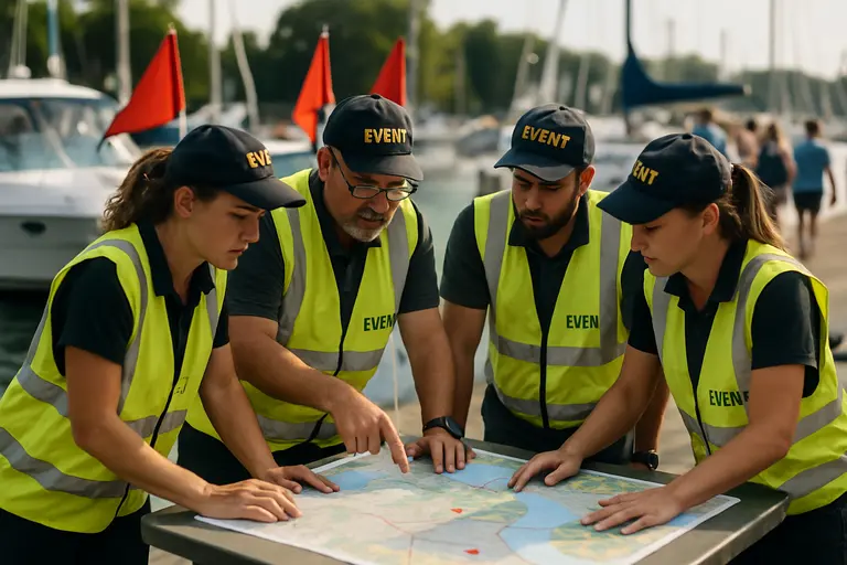
A safe event plan should name who checks weather, who makes delay or cancellation calls, who communicates with support boats, and who tracks participant accountability. If every person assumes someone else is watching the radar, warnings can be missed. If the cancellation threshold is vague, pressure to continue can grow after boats are already underway.
- Designate one weather lead and one backup before the event date.
- Brief all operators on the same wind, wave, visibility, and thunderstorm limits.
- Keep communication channels simple and tested before departure.
- Confirm life jackets, sound signals, navigation lights, first-aid gear, and tow options.
- Plan protected retreat points on both the outbound and return legs.
The Coast Guard and partner agencies emphasized on September 2, 2026, in Chicago that safe boating includes wearing life jackets, avoiding illegal charter activity, carrying required safety gear, operating sober, and keeping speeds safe. Those reminders fit every Great Lakes event, especially when crowds, rental craft, support boats, and changing weather share the same water.
Practical Great Lakes Weather Decisions
Turn The Forecast Into A Decision
Great Lakes Weather information is most useful when it leads to a clear action. A forecast of building winds should prompt a shorter course, earlier start, added patrol coverage, or a delay. A buoy showing higher waves than expected should trigger a check-in with all operators. A Special Marine Warning should send small craft toward safe shelter if it is safe to do so. The safest event teams decide those responses before the sky darkens.
For late-season boating, a conservative margin is wise. Daylight fades earlier, water temperatures can be unforgiving, and harbors may be less staffed than midsummer periods. A well-maintained boat still depends on sound judgment: bilge pumps, batteries, radios, navigation lights, fuel reserves, and engine cooling systems should be checked before the event window, not during a weather delay. Maintenance does not replace weather awareness, but it prevents a manageable forecast from becoming an emergency due to a preventable equipment failure.
No public forecast can describe every wave at every breakwall or every gust along a shoreline. Skippers remain responsible for judging the actual conditions around their vessel and crew. The best preparation combines official forecasts, hourly observations, water level awareness, cold-water planning, and a willingness to stand down. That approach keeps marine events safer and gives every participant a better chance of returning to the dock without incident.