
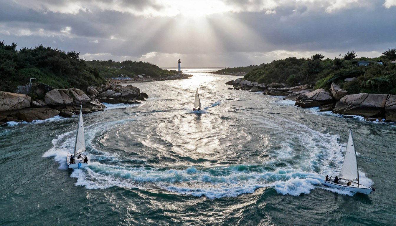
Navigating a vessel through coastal channels is more than just skill. It’s about timing. The water is always moving, pushed by the moon’s phases.
These forces are part of vast oceanic highways. Water flows across entire basins. In places like the Aleutian Islands, this flow creates intense, localized patterns. Eddies spin off from the main currents. They drift through narrow passes into the Bering Sea.
The daily rhythm of the ebb tide and flood tide drives this motion. Wind adds to these forces. This mix creates a complex seascape.
Think of the Gulf of Mexico. The Caribbean Current enters through the Yucatán Channel. It makes a full circuit before exiting as the mighty Gulf Stream. Even here, where tides are small, their effect on the continental shelf is noticeable.
For any mariner, understanding this dynamic is non-negotiable. It’s the foundation for safe and efficient passage. Whirls and sudden changes in velocity are common. Mastering the timing of inlets and river mouths turns a hazard into an advantage.
Hazards at Inlets & River Bars
Bar crossings are known for their unpredictable and violent nature. These areas between open water and sheltered spots have powerful forces. It’s vital to understand these dangers for safe travel.
The U.S. Coast Pilot warns of many dangers. Hidden rocks and steep shores can be a threat. Also, breakers can crash down without warning, making it dangerous.
Kelp beds and sea growth can damage your boat’s propellers and rudders. Strong undertows and changing currents can also be deadly. They can pull your boat off course or against a dangerous shore.
Navigating these areas is hard because of shifting channels and old charts. Thick weather like fog or rain makes it even harder. It turns a tricky passage into a blind gamble.
The impact of currents at inlets goes beyond the visible pass. Turbulence and heavy seas can be felt up to 20 miles offshore. This means your journey can get rough before you see the entrance.
In places like the Gulf of Mexico, storms add to the risk. Hurricanes and northerly gales can cause huge storm surges. These surges change water depths and create new channels.
These storms also bring a lot of debris into the water. Sunken logs, construction materials, and destroyed docks become deadly obstacles. Coastal erosion from storms can quickly change an inlet’s shape and depth.
| Hazard Type | Primary Cause | Key Risk to Vessels |
|---|---|---|
| Heavy Breakers | Outgoing current opposing incoming swell/waves | Broaching, capsizing, structural damage |
| Strong Undertow | Water rushing back out to sea beneath waves | Loss of steering control, being pulled into danger |
| Variable Currents | Tidal flow interacting with irregular bottom topography | Unexpected set and drift, collision with markers or shore |
| Submerged Debris | Post-storm runoff and coastal damage | Propeller damage, hull puncture, fouling |
| Poor Visibility | Fog, rain, or spray combined with lack of landmarks | Disorientation, missing the channel, grounding |
Bar crossings are very challenging. A careful approach is the only safe way. This means getting all the information you can, like the guidelines for safe boating through the St. Lucie, and using it for your local situation.
Never underestimate the power of Currents & Inlets. Knowing these dangers is the first step in planning a safe journey.
Reading Local Notices & Bar Reports
Before you head out to any river mouth or inlet, check the latest Local Notice to Mariners. This document has updates that charts can’t show in real time. It’s essential for safe navigation.
These notices give you vital info on sandbar shifts, new wrecks, and closed channels. They also tell you about changes to buoys and lights. For currents & inlets, the bar condition reports are key.

Getting this info is easy. The U.S. Coast Guard posts Local Notices weekly. You can find them online or through NOAA’s broadcast services. Here’s how to stay updated:
- Bookmark the official Coast Guard District Notice to Mariners website for your area.
- Subscribe to email or RSS feed alerts for automatic updates.
- Check for bar reports, which give wave height, swell period, and current strength at the entrance.
Understanding hazard categories is important. In places like the Aleutian Islands, notices warn of unexploded ordnance. Vessels must report when passing through these areas. It’s a safety rule, not just a suggestion.
Environmental rules are also covered in these bulletins. For example, in the Gulf of Mexico, notices highlight Marine Sanctuaries. They also enforce rules like MARPOL Annex V, which bans garbage dumping. Past incidents, like the Ixtoc oil spill, show why these reports are updated regularly.
Using this info is the next step. If a bar report warns of waves over six feet, wait or find a safer route. If a notice says to avoid an area, you must change your path. Following these rules keeps you safe and protects the sea.
Knowing currents & inlets means knowing the reports that describe them. Treat every Local Notice as a briefing from the coast guard. Reading the latest update is the first step to safely crossing a turbulent river bar.
Choosing Slack vs. Favorable Current
When navigating inlets and passes, you face a big decision. Should you wait for slack water or use a favorable current? This choice affects how well your boat handles, how much fuel you use, and your safety. You need to know the local water well and what your boat can do.
Slack tide is when the tidal current stops and reverses. It’s the safest time to cross dangerous bars or go through tight channels. But, it doesn’t last long. In places like the Aleutian Islands, diurnal inequality can mess with this calm period. Tropic tides can make flood currents last up to 18 hours, making the slack time even shorter.

Finding the true slack and when a new current starts is key. Look for tide rips, which are lines of choppy water, where currents meet. These signs show where the water is moving. Mariners should watch for sudden changes too. For example, Fox Island Passes have currents that can quickly change from calm to strong.
On the other hand, a favorable current can help you go faster. This can save time and fuel on long trips. Using currents wisely is an old trick. Spanish treasure fleets used the Loop Current to travel faster through the Gulf of Mexico. Today, knowing these currents is important for planning offshore trips.
So, how do you decide? Think about these important points:
- Vessel Handling: Small or hard-to-control boats do better in slack water in tight spaces.
- Passage Length: A favorable current is best for long trips in open water or wide channels.
- Hazard Level: If an inlet is dangerous, always choose slack tide.
- Predictability: Check tidal current tables first. Then, watch for tide rips and how other boats move to confirm.
The table below helps you understand the main differences:
| Characteristic | Slack Tide | Favorable Current | Best Use Case |
|---|---|---|---|
| Primary Benefit | Maximum control & stability | Increased speed & efficiency | Slack for hazards; Current for transit |
| Typical Duration | Short, often 20-30 minutes | Can last for several hours | Plan precise timing for slack windows |
| Risk Profile | Lowest risk in turbulent areas | Higher risk if current opposes wind/waves | Match conditions to your vessel’s limits |
There’s no one-size-fits-all answer. The skilled sailor balances tidal predictions with what they see happening. Sometimes, waiting for slack is the only smart thing to do. Other times, using the last of an ebb or the start of a flood is the key to good seamanship. Your goal is to use the water’s flow to your advantage, not the other way around.
Engine/Speed Over Ground Math
To control your boat in strong currents, you must understand the difference between your boat’s speed in water and its actual speed over the ground. Your engine pushes you through the water, but the water also moves your boat. This is key for navigating tidal inlets.
Three important terms are involved. Speed Over Ground (SOG) is your boat’s true speed, shown on your GPS. Set is the direction the current pushes you. Drift is the speed of that current. You aim to use your engine and steering to get the desired SOG and course.
Think of it as adding vectors. Your boat’s movement and the current’s movement combine. This gives you your actual track and speed over ground. In places like Alaska’s Unimak Pass, where currents can be over 6 knots, ignoring this math means you’ll be off course.
Let’s say you need to go 5 knots SOG across a channel with a 4-knot beam current. Running straight across won’t work. You need to point into the current and speed up your engine. This is how vector mathematics of currents helps you navigate.
| Current Scenario | Desired SOG | Current Drift | Required Engine Speed (Approx.) |
|---|---|---|---|
| Head Current (against you) | 5 knots | 2 knots | 7 knots |
| Beam Current (90° to side) | 5 knots | 3 knots | 5.8 knots* |
| Following Current (with you) | 5 knots | 2 knots | 3 knots |
*This requires a course correction into the current; speed is calculated using the Pythagorean theorem.
Here’s how to approach strong currents at inlets:
- Find out the current’s set and drift from tide tables, bar reports, or radar.
- Mark your intended ground track on the chart.
- Figure out the vessel heading and speed through water needed to counteract the current.
- Use engine power and set your course, keeping an eye on SOG and position.
This isn’t just theory. In complex inlets like Unimak Pass, a 6-knot tide current can stop a slow vessel or make steering hard. Doing the math before entering the pass is key. Your engine battles the water; your navigation must control the current.
Real‑World Scenarios & Checklists
Knowing currents & inlets is key in real life. Events like those in Alaska’s Aleutian Islands show why. Vessels were swept through Unimak Pass by strong currents.
The Gulf of Mexico has faced its own dangers, like hurricanes and oil spills. These show how quickly inlet conditions can change.
Having real-time data is essential. Old sailors didn’t have today’s tools. Now, boaters should check a real-time guide to local boating conditions before heading out. This makes past warnings useful today.
Here’s a checklist for any passage:
- Check for slack water or good currents & inlets with official bar reports.
- Look for hazards like eddies or shallow spots on your chart.
- Make sure your engine power and speed-over-ground plans match the predicted flow.
If things get bad, act fast. Pull in fishing lines, slow down, and check your spot. Use a tide chart from your kit. Being ready, with both past lessons and current data, means safe passage through currents & inlets.