
For serious sailors, facing severe weather is not just luck. It’s a planned part of the journey. Safety comes from seeing thunderstorms and squalls as challenges you can tackle with a solid plan.
This careful planning starts before the weather gets bad. It means understanding forecasts like the convective outlook to guide your strategy. Just like pro sailors do, you must prepare for every possible situation.
Your plan should cover everything: understanding storms, using radar, and following safety rules. Knowing how to spot a squall line and where to ground lightning are key.
The aim is to go from reacting to taking charge. After each storm, analyze what happened to learn more. This way, you turn fear into confidence, becoming the captain of your ship in any weather.
Storm Types and Signatures
Just like a sailor adjusts sails with the wind, knowing when a storm is coming is key. Spotting a storm early can mean the difference between safety and danger. Thunderstorms & squalls have unique signs that alert those who know what to look for.
Boaters face three main storm threats: squall lines, single-cell storms, and outflow boundaries. Knowing which storm is coming helps you act fast and right.
Squall lines are the biggest threat. They are a wall of storms moving together. A low, wedge-shaped shelf cloud signals the storm’s arrival. This cloud warns of a strong gust front, bringing fast winds and rough seas.
Single-cell thunderstorms are intense but less common. They quickly grow, then fade. Their sudden appearance can be dangerous, with sharp gusts and lightning.
The outflow boundary is a hidden danger. It’s a cool air front from a dying storm. It can cause a sudden wind shift and speed change. An outflow boundary can also start new storms far from the original one. A cool gust under a partly cloudy sky is a warning sign.
Your tools give you clues too. A quick drop in barometric pressure often signals a storm. Look for a drop of several millibars in an hour. This data confirms your suspicions.
The air itself tells you something before a storm. Humidity goes up, making the air feel heavy. Birds stop flying. These signs, along with watching clouds and wind, help you stay safe.
Learning these signs makes you a safer sailor. Knowing if a cloud is a passing storm or a squall line is key to your safety.
Reading Composite & Velocity Radar
Just like a sailor adjusts sails based on wind and data, you can use radar to understand storms. This skill turns your radar into a key tool for avoiding thunderstorms & squalls.
Two main radar modes are essential: composite reflectivity and velocity. Knowing both helps you understand a storm’s rain and wind.
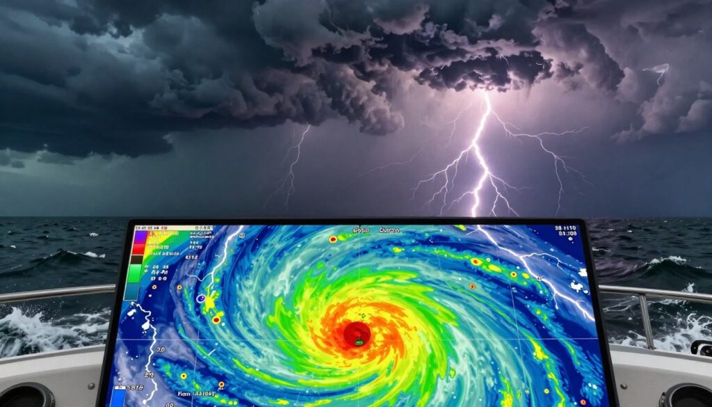
Composite reflectivity shows how heavy the rain is. It measures how much rain, hail, or sleet reflects the radar’s signal. Brighter colors mean heavier rain.
High reflectivity often means strong updrafts. These updrafts power severe storms. A tall column of high dBZ returns signals a strong storm with heavy rain and strong winds.
Here’s a table to help you understand what you see on the radar. This data helps you make smart decisions, just like adjusting your boat’s performance.
| Color / Shade | Approximate dBZ | Precipitation Intensity | Implication for Boaters |
|---|---|---|---|
| Green | 20 – 30 | Light Rain | Minimal hazard. Monitor for intensification. |
| Yellow / Orange | 30 – 50 | Moderate to Heavy Rain | Reduced visibility. Possible gusty winds. |
| Red | 50 – 60 | Very Heavy Rain / Possible Hail | High hazard. Expect strong winds, lightning, and rough seas. |
| Purple / Pink | 60+ | Extreme Precipitation (Hail) | Severe threat. Danger of damaging winds, large hail, and violent downdrafts. |
Velocity mode shows a storm’s wind patterns. It’s key for spotting rotation and wind shear.
In velocity mode, green means moving toward the radar, red means moving away. A mix of red and green next to each other signals rotation. This could be a tornado or a waterspout.
A microburst is a dangerous downdraft. On radar, it looks like a small, high dBZ core in reflectivity. In velocity mode, look for strong outgoing winds around that core.
This wind shear is very dangerous. Spotting it early helps you avoid sudden capsizing. It lets you steer clear of the worst winds.
By combining data from both modes, you can make smart changes in your course. High reflectivity shows where the rain is heaviest. Velocity data shows how the winds are moving. This helps you avoid the most dangerous parts of thunderstorms & squalls.
Route Detours and Safe Havens
When a thunderstorm is coming, you need a plan for changing your route and finding safe places. Radar shows you when to act fast. You must make quick, smart decisions based on your plan.
To avoid the worst of the storm, take a detour. Change direction by at least 90 degrees to go around the storm. This way, you avoid the strongest winds and lightning on your bow.
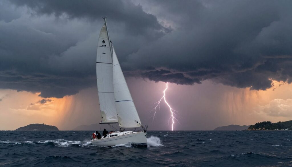
Next, decide between finding a safe place to anchor or heaving-to. A safe harbor or marina is best if you can get there before the storm. If not, heaving-to helps you stay in place and keeps your boat stable.
Before the storm hits, get ready. Secure loose items and adjust your sails. For high-performance boats, managing the rig is key. Depowering the rig helps you stay stable.
Make sure your crew is safe. Everyone must wear life jackets and harnesses. Have one person watch the radar and local boating conditions for updates. Close all openings to keep water out.
Lightning Protocols and Grounding
When thunderstorms are around, lightning could strike. Good grounding helps protect your boat. Here’s what to do:
- Connect the Ground: Make sure your boat’s lightning system is working. Check for corrosion.
- Crew Shelter: Keep everyone below deck. Stay away from metal parts. The cabin is safest.
- Handle Metal Gear: Turn off electronics if you can. Keep hands off metal during the storm.
If you can’t avoid a squall, change your sail quickly. Go broad reach or run to reduce wind and prevent jibing. This is a common tactic in races.
Remember, thunderstorm winds are short but intense. Your quick actions can save your boat. After the storm, be ready for the changed winds and seas.
After‑Squall Seas and Debrief
Your thunderstorm playbook has a final chapter. It starts when the wind stops. This is the “After‑Squall Seas” phase. It’s not time to relax but to inspect carefully.
Check the rig for loose fittings or signs of wear. Look at every sail for small nicks or tears. This is important, as seen in post-race analyses like the RORC Transatlantic Race debrief. Also, check the bilge for new water and test all electronics. This post-event check is as important as caring for foul weather gear after each use.
Then, have a formal debrief with the crew. Talk about what the radar showed versus what you felt. Discuss sail changes and how the helm responded. Ask what worked and what didn’t. This turns a scary encounter into a chance to learn.
Professional debriefs after heavy weather, like those by offshore sailing crews, show valuable lessons. Use your discussion to update your procedures. This ensures your boat and crew are ready for the next storm.
The aim is not just to survive. It’s to come back stronger, with better data and instincts for future challenges.