
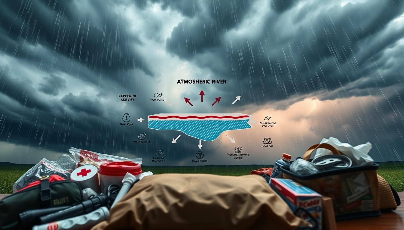
When the sky opens up, it’s not always a gentle spring shower. Sometimes, it’s like the atmosphere is using a firehose. We’re talking about atmospheric rivers—those colossal, sky-borne conveyor belts of moisture.
These “rivers in the sky” can carry more water vapor than the entire flow of the Mississippi River. When they make landfall, they don’t just bring rain; they bring a prolonged, relentless siege of precipitation.
Think of an atmospheric river as the sky’s way of opening a fire hydrant over a specific region. These “rivers in the sky” can carry more water vapor than the entire flow of the Mississippi River. When they make landfall, they don’t just bring rain; they bring a prolonged, relentless siege of precipitation.
Understanding the difference between a Flood Watch and a Flood Warning is key. A Flood Watch is the sky’s ominous whisper—a heads-up that conditions are perfect for a deluge. It’s the meteorological equivalent of “you might want to move your car.” A Flood Warning, on the other hand, is the sky screaming into a megaphone that it’s actively flooding.
From the slow, relentless siege of a nor’easter to the sudden, violent tantrum of a squall line, each type of severe weather event demands a different kind of respect and preparation. Whether you’re facing the torrent of an atmospheric river or the flash fury of a squall line, the first step to weather emergency preparedness is understanding the cast of characters in Mother Nature’s dramatic repertoire. For a detailed look at how to prepare for these and other emergencies, the City of Toronto provides detailed resources on various emergency scenarios.
Planning Ahead
Planning for a storm when the sun is shining feels like a chore. It’s the “boring” part of being ready. But, making key decisions before the storm is critical. It’s about being prepared, not scared.
This isn’t about being a victim of the weather. It’s about being in control. It’s like making a plan for a heist movie, turning panic into a well-rehearsed action.
The Blue-Sky Strategy: Planning When the Sky is Clear
It’s more than just checking the weather app. The “Blue-Sky Strategy” is a way of thinking. It means signing up for local alerts and understanding storms as logistical challenges.
Your boat, crew, and family are the puzzle pieces. The first step is to prepare, not just react. This is the heart of storm safety: using logic and preparation.
The “Go-Bag” for Your Boat and Your Brain
Your “go-bag” is more than a backpack. It’s a portable command center. It has important items and a plan.
This bag should have a map and a thorough understanding of local boating conditions. It helps you find the best escape routes by water.
The “go-bag” for your brain is just as important. It’s your mental checklist and protocols. It includes knowing to Turn Around, Don’t Drown and having a family communication plan.
Planning for a storm is not about being paranoid. It’s about managing risks. You’re not just waiting for the storm; you’re ready for it.
Anchoring for Storms
When the weather turns bad, your anchoring system is your first defense. It’s the difference between riding out the storm and becoming a ghost ship. Anchoring for a storm is not about dropping a weight and hoping for the best. It’s about using physics and geometry to respect nature’s power.
Forget the “set it and forget it” approach. Anchoring for a storm requires a careful plan. It’s about creating a strong bond between your boat and the sea floor. This bond is based on careful math to ensure safety.

More Than Just a Heavy Weight: The Philosophy of Holding Fast
Think of your boat in a storm as a system under constant attack. The philosophy of “holding fast” is not about being rigid. It’s about being flexible enough to absorb shocks. A comprehensive guide to storm anchoring is your playbook. The goal is to absorb shocks, not to resist them.
Your anchor, chain, and rode work together as a single system. They absorb your boat’s energy. It’s a dance with nature, where you yield just enough.
This is similar to the NOAA’s rapid response concept. They don’t wait for the storm to hit. They have mobile units ready. Your boat should be the same. Have a primary anchor and a backup, like a storm anchor.
Having a plan B and C is not pessimism. It’s preparedness. It’s like having a fire extinguisher. You hope you never need it, but it’s wise to have it.
The Anatomy of a Storm-Worthy Anchoring System
Let’s look at the system from the bottom up. It’s not just gear; it’s a well-designed assembly. Every link must be stronger than the force trying to break it.
The Anchor: Your system starts with the anchor. For storms, use a plow-style anchor like a CQR or Delta. They reset if they break free and hold well in different bottoms. Choose a larger anchor than recommended for normal conditions.
The Rode: The rode is a critical link. Use a hybrid chain-rode for storms. Start with 20-30 feet of chain on the bottom. This chain acts as a shock absorber. Connect it to a long, heavy-duty nylon or 8-plait rode. The nylon’s stretch helps absorb shocks.
The Connection Point: Your bow cleats or windlass are the weakest link. Make sure they are through-bolted with strong backing plates. This is like a NOAA team checking their gear before the storm hits. You must know these connections can handle the load.
The scope is also important. A 7:1 ratio is good for calm weather. In storms, use a 10:1 scope. This keeps the anchor dug in and absorbs shock loads. Think of it as a longer, more forgiving tether.
Here’s a comparison of common storm-anchoring setups:
| Component | Fair-Weather Setup | Storm-Ready Setup | Rationale |
|---|---|---|---|
| Anchor | Manufacturer’s “standard” size | One to two sizes larger | Provides a higher ultimate holding power (UHP) safety margin. |
| Chain | Short 20-30′ snubber | All-chain rode, or 50’+ of chain + nylon | Chain weight provides catenary; nylon provides elasticity. |
| Scope | 5:1 to 7:1 | 10:1 or more if space allows | Lowers pull angle, drastically increasing holding power. |
| Redundancy | Single anchor | Two anchors (e.g., Bahamian Moor) | Prevents sailing at anchor in shifting winds. |
| Chafe Protection | Minimal or none | Heavy-duty, secured at bow and chocks | Prevents a $5 chafe failure from causing a $500,000 loss. |
Ultimately, anchoring for a storm is about humility and preparation. It’s not just about one piece of gear. It’s about the whole system’s integrity. It’s about respecting the forecast and deploying your assets wisely. The goal is to survive the storm and find your boat ready for the calm that follows.
Safe Harbors in [Region]
When the weather gets bad and the VHF crackles with severe weather warnings, finding a “safe harbor” is critical. It’s not just about a pretty cove. It’s about making a smart choice based on geography, depth, and current data. Today, captains rely on data, not just their instincts.
The Science of Sanctuary: How NOAA Charts Your Escape
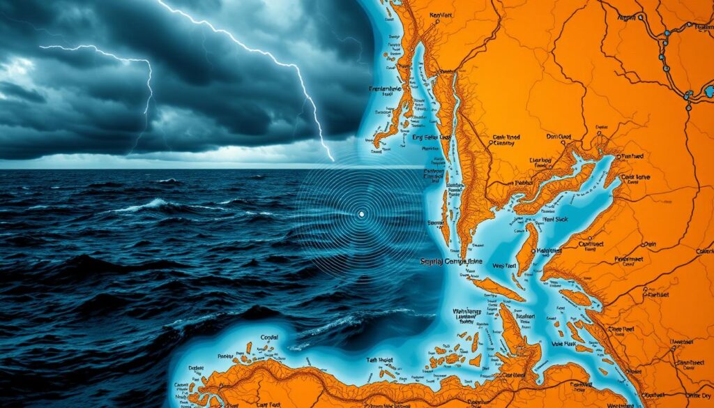
Forget the idea of a sheltered cove. Today, finding safety is a science job. The National Oceanic and Atmospheric Administration (NOAA) helps you find your way. They use the Physical Oceanographic Real-Time System (PORTS®) to give you real-time data on currents, water levels, and winds.
This data is key to finding a safe place. It’s not just about avoiding wind. It’s about finding a spot where the storm is weakest. NOAA’s network helps you find this spot by analyzing storm surge models and tidal currents.
Think of NOAA’s network as your eyes and ears from afar. While you’re heading for shelter, they’re analyzing data to find the safest spot. This isn’t about hiding; it’s about using precise forecasting to find the best place to wait out the storm.
From Data to Safe Haven: Finding Your Hole-in-the-Wall
So, how do you use this data to plan your escape? The perfect hurricane hole isn’t just a deep notch. It’s a place with the right depth, lee, and holding ground, as shown by live data.
- Real-time Conditions: Use NOAA PORTS for live water levels and currents. An extra 6 inches of surge can turn a refuge into a deathtrap.
- 360-Degree Topography: A harbor open to the east might be a death trap in a nor’easter. The best holes are protected from the forecasted wind and swell direction.
- Bottom Composition: Data on the seafloor (mud, sand, rock) is as critical as the charted depth. Your anchor’s holding power is a data point, not a guess.
- Escape Route: Your “safe” harbor needs a Plan B. Can you get out if the wind shifts? The data should inform a multi-layered escape strategy.
This approach turns a desperate search for cover into a smart move. It’s the difference between hiding and positioning. For official protocols on emergency procedures in a marine environment, always check official resources. A safe harbor is found and held with data as your guide.
Real-Life Stories
The best-laid plans of sailors and skippers meet their truth in the storm. Preparedness is a fine idea, but real lessons come after the storm. These lessons are written in water lines on buildings and data from NOAA aerial survey teams.
After the Storm: Lessons Written in Water and Wind
NOAA’s before-and-after imagery is more than just damage. It’s a tool for forensic analysis. It shows how floodwaters, like those from Hurricane Ida, changed the landscape. The data from these surveys is a clear, pixelated truth of where the water won.
The Cost of “I Thought I Had More Time”
Consider the 46 lives lost in Hurricane Ida, many trapped in basement apartments. The decision to stay often hinges on a gamble with time. Survivors’ stories from Ida and other floods reveal a common, fatal thread: the belief that there was more time to act.
The danger isn’t just rising water; it’s the electrical hazards lurking in the floodwaters. These hazards turn a flooded street into a lethal conductor. NOAA’s post-storm analysis doesn’t just map damage; it charts the high-cost of “I thought I had more time.”
These real-life stories aren’t just tragedies; they’re the unvarnished data points of disaster. They teach a cynical but vital truth: nature’s schedule is non-negotiable. Preparedness isn’t about fear; it’s the intellectual’s acceptance that nature’s drama doesn’t care for our plans, but our plans can—and must—account for its drama.