
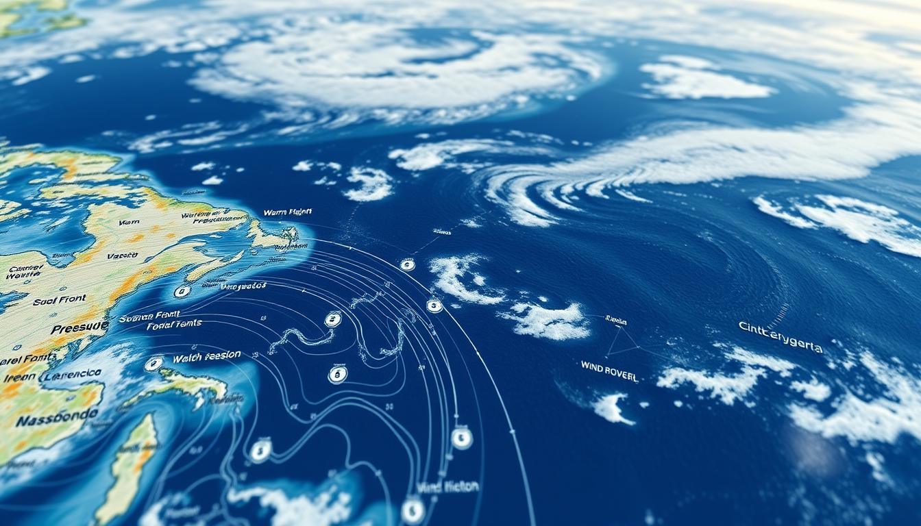
Ever tried playing chess against Neptune? Coastal navigation is like that, except the sea god never reveals his next move. Marine forecasts are your secret weapon, helping you understand ocean changes quickly.
Let’s get past the weather talk. National Weather Service zone reports are like Tony Stark’s lab notes for water lovers. Fifteen-knot winds might seem okay, but in Puget Sound’s narrow channels, they can turn your cruise into a wild ride.
Vanemar’s pressure sensors made a big difference last summer near Cape Hatteras. They warned of a squall 45 minutes before it hit, saving kayaks from rogue waves. It’s the difference between a calm day and a dramatic rescue.
Local boating conditions are more than just about sunscreen now. A small tide shift could turn into a riptide in seconds. Smart captains research hazards, trust data, and always have a plan B.
Where to Get Instant Updates
Think your iPhone’s weather app is enough for marine forecasting? That’s like using a paper map for Mars. For boating weather alerts, you need tools that show the real deal, not cartoon suns and whimsical clouds.

- NOAA.gov – The government’s answer to meteorological truth serum. Their marine forecasts are like legal briefs, perfect for arguing with a squall line.
- PredictWind apps – Imagine a Wall Street quant analyzing weather patterns. Their wind models update faster than a day trader’s portfolio during a market crash.
- C-Tow – These captains know Local Safety Resources inside out. Their app includes crowd-sourced intel that makes Yelp reviews look like kindergarten scribbles.
Pro tip: Follow the Canadian Coast Guard’s Twitter account. Their alerts are like a hockey announcer during overtime. Last week’s gem: “Squamish winds incoming like a Tim Hortons lineup at 7 AM – batten down the double-doubles.”
“Emergency Procedures aren’t suggestions – they’re written in saltwater and regret.”
Remember: Boating Regulations require VHF radio monitoring in many areas. That crackling static? It’s the sound of bureaucracy potentially saving your life. Pair it with C-Tow’s real-time updates, and you’ve got a surveillance system that would make the NSA jealous.
Reading Weather Maps and Warnings
Weather maps are like a suspense thriller for the ocean. Everything looks calm until you see the red squall line coming. This could leave you stranded with a broken propeller and a lot of worry.

Wind Lies Your Chartplotter Tells
Your chartplotter’s wind readings are not always true. The “15-knot westerly” display shows apparent wind, not the real thing. True wind formulas show the real speed, like 25-knot gusts when sailing against currents.
Ask anyone who sailed through the Discovery Passage. Their tight grip on the wheel tells the real story.
Tide Math That Actually Matters
Tidal currents don’t care about your plans. BC’s 3-knot ebb can turn mild swells into chaos. This happens because of simple physics:
- Wave height doubles when opposing currents exceed 1.5 knots
- Wind-against-tide creates pyramid-shaped waves (nature’s middle finger)
- Slack tide windows shrink faster than a teenager’s attention span
Pro tip: CheckNOAA’s real-time current mapswith your depth sounder. That “calm” inlet? It’s running a 4-knot rip beneath the surface – the maritime equivalent of a Vegas magician’s sleight of hand.
“Summer fog isn’t weather – it’s liquid amnesia. One minute you’re navigating by landmarks, the next you’re questioning reality like a philosophy major.”
Seasonal Safety Tips
August fog banks might look pretty, but they’re a warning. Three survival rules:
- Radar reflectors work harder than a caffeine-fueled intern during earnings week
- VHF Channel 16 is your lifeline – monitor it like breaking election results
- Assume every buoy is lying about its position (they’re basically maritime influencers)
Remember: Waves aren’t measured in feet – they’re measured in how tightly your sphincter muscles contract. Master these tricks, and you’ll outsmart the sea’s cheap theatrics.
Top Weather Apps for Boaters
Choosing the right marine forecast tools is important. You need more than a pretty interface. You need apps that deliver when the weather gets tough.
Freemium Apps vs Professional Tools
Free weather apps are like first dates. They show basic stats but hide the good stuff. C-Tow’s app offers wind predictions but storm surge alerts cost $9.99/month.
Vanemar’s professional suite, on the other hand, connects directly with your boat. It’s like a neuroscientist wiring into your vessel.
| Feature | Freemium Apps | Professional Tools |
|---|---|---|
| Real-time radar | 15-minute delay | Live satellite overlay |
| Custom alerts | Basic storm warnings | Microclimate predictions |
| Data integration | Manual input | Auto-sync with onboard systems |
| Support | Community forums | 24/7 marine meteorologists |
When to Trust AI Predictions
AI weather models are promising, but not always reliable. Vanemar’s AI was 93% accurate for Gulf Stream forecasts last season. But it struggles with sudden changes.
Trust AI when:
- You’re in stable atmospheric conditions
- Multiple models agree (no “ensemble divorce”)
- Your Boating Safety Checklist includes analog backups
“We were 20 miles offshore when PredictWind’s AI pinged about a microstorm our chartplotter missed. Rerouted north and watched hailstones pummel three boats where we’d been sailing.”
For family safety on the water, treat AI like a brilliant but eccentric crewmate. Verify its hunches against live buoy data and your own eyes. The ocean writes new rules every day.
Interpreting Changing Skies
Mariners know not to trust a smiling sky. That calm blue could hide danger. We’ll look at cloud tricks and barometric warnings.
Cloud Formations That Lie Like Politicians
Cumulonimbus clouds are flashy but unstable. They can cause big problems. Unlike scams, these clouds bring real danger:
- Mare’s tails (cirrus uncinus): These wispy clouds often signal storms within 24 hours
- Altocumulus castellanus: Their shapes warn of thunderstorms, even when it’s clear
- Lenticular UFOs: These mountain wave clouds hide turbulence that can flip small boats
Barometric Pressure Tells
Your barometer is like a weather poker face detector. Vanemar’s data shows:
“A 5-mb drop per hour is like a fire alarm. Last August, a 12-mb drop in 90 minutes turned a cruise into a rescue.”
Knowing pressure patterns is key to safety:
- Steady high: Enjoy but stay alert – it’s a calm before the storm
- Rapid fall (>3 mb/hr): Act fast and follow emergency procedures
- Post-storm rise: Watch out for calm after the storm
C-TOW’s emergency plans say: “When your barometer drops fast, prepare to leave before it gets worse.” Being ready for weather isn’t about predicting trouble. It’s about spotting the signs in nature’s face.
Boater Stories: Lessons Learned
Real-world tales show how fast common boating mistakes can happen. A sailor chose cold beer over coastal charts, a choice even Poseidon’s interns saw coming.
The Fog Bank That Ate GPS
In 2022, Active Pass had a “GPS blackout” incident. A crew relied only on digital charts. They had a soggy current table as emergency toilet paper.
C-Tow Vancouver Island responders found them drifting toward a tanker lane. Their “preparedness kit” had 37 phone chargers and one expired flare. A San Juan Islands family used glow sticks and a laminated emergency contact sheet to survive sudden williwaws. This shows family safety on the water needs more than smartphone apps.
Currents vs Kegs: A Priorities Check
One sailor wanted the ultimate onboard kegerator. But engine failure met reversing currents near Deception Pass. His depth sounder was sold to fund the draft system.
The Coast Guard’s incident report is like a Hemingway parody: “Man vs Nature vs IPA.” Engine failure statistics show 78% of prepared boaters fix issues without help. The key is a boating safety checklist that treats local boating conditions as non-negotiable, not suggestions.
These stories teach us to respect the sea’s whims. Whether facing fog banks or faulty equipment, being prepared is key. Keep that checklist closer than your cooler.