
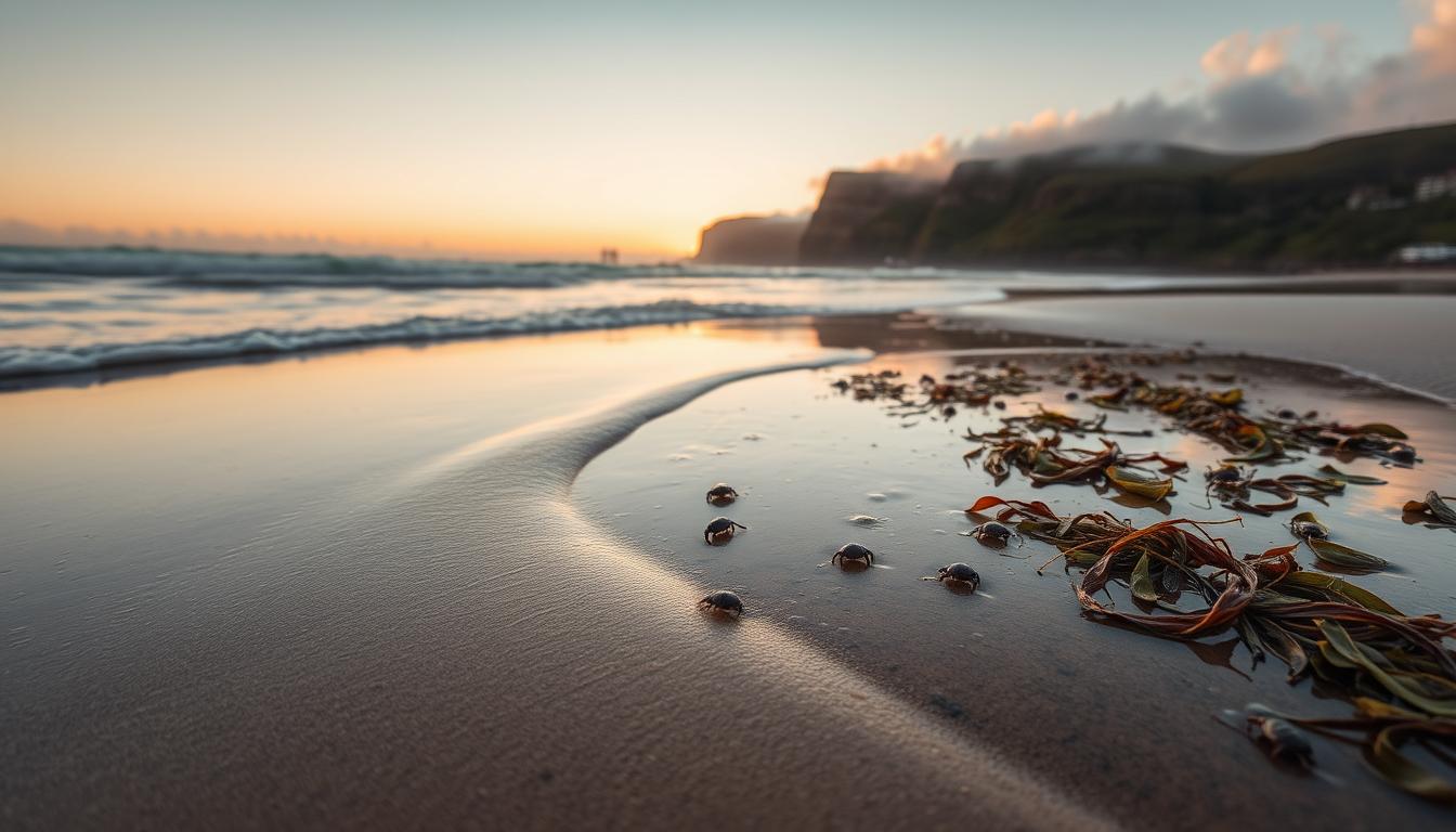
Let’s uncover the ocean’s most predictable secret. Learning about tide schedules isn’t just about numbers. It’s about understanding the moon’s pull on the sea. It’s like the ocean’s own heartbeat, moving in sync with the moon and sun.
The moon and sun’s pull on the water creates a rhythmic rise and fall. It’s not like a weather forecast, but more like a metronome for the planet. Many beachgoers get caught off guard, thinking high tide is just a dream.
This is the start of our journey. We go from seeing water as flat to understanding it as a living, breathing thing. Its schedule is as reliable as the mail. Knowing the difference between tides and currents is as important as knowing your boat’s controls.
Using Current Tables
Navigating without current tables is like driving blindfolded in rush hour. You might know the streets, but you don’t know the momentum of everything else. Tide schedules tell you when the water level changes. Current tables show how the water will move your boat.
I treat these charts like financial pages before a big investment. Misreading the flow can waste your time, fuel, and safety. For the analytical mind, this is where boating gets interesting. It’s applied physics with real-world consequences.

Think of a tidal current as a river in the sea. For six hours, it flows in one direction like a subway crowd. Then it pauses, catches its breath, and flows the other way. Your goal is to harness this flow.
The gold standard for this data in the United States is NOAA. Their comprehensive current tables are essential for planning. They are used by marinas, apps, and online portals. The key is knowing how to read the numbers.
A current table doesn’t just list times. It gives you velocity—often in knots. It shows direction with helpful arrows. It tells you when the water will be slack, or calm. This is your tactical playbook.
Planning a route west against a 3-knot easterly current is a losing battle. It’s like fighting a firehose. But timing that same trip for a friendly westerly flow? That’s like riding a gentle escalator.
Let’s break down a sample. The table below simplifies what you might see for a fictional strait. “Flood” means current flowing in, raising water levels. “Ebb” means current flowing out.
| Time | Current | Direction | Speed (knots) |
|---|---|---|---|
| 06:00 AM | Max Flood | East | 2.5 |
| 09:00 AM | Slack | — | 0.0 |
| 12:00 PM | Max Ebb | West | 3.2 |
| 03:00 PM | Slack | — | 0.0 |
See the story? A morning departure heading east gets a 2.5-knot boost. Coming back west after noon gets an even bigger push. Trying to return at 10 AM, though, means battling the tail end of that flood. That’s wasted fuel and hours.
The real magic happens when you layer this data with local knowledge. A chart might show a 2-knot current, but around a point or in a channel, it can funnel to 4 or 5 knots. This is why pairing NOAA data with a real-time local conditions guide is key. It’s the difference between theory and street-smart execution.
So, you’ve got your tables. You’ve plotted the current direction and strength. Now you’re not just a boater following a map. You’re a strategist, using the ocean’s own energy to your advantage. You’ve turned the water from a possible enemy into your most powerful ally.
Local Trouble Spots
If the ocean had a personality disorder, you’d find it in narrow inlets and river mouths. These spots are where the ocean’s flow gets messy. Think of a narrow inlet as a nozzle, where water speeds up.
Using current charts here is a must. These documents help you avoid danger. They show where sandbars rise and water flow gets unpredictable.
River mouths are where freshwater and saltwater meet. This creates confused seas that feel like a washing machine. Currents here argue, making swirling eddies and standing waves.
Low tide reveals hidden dangers. What was deep water at high tide becomes a minefield of rocks and debris. Anchoring here needs a special technique.
Current charts are more than just maps. They show the water’s personality. You can see where currents pinch and where they relax.
Staying informed is key. Local maritime advisories give real-time updates. Combine these with charts for a complete picture. You learn about specific dangers at certain times.
| Location Type | Physical Mechanism | Visible Signs | Required Caution |
|---|---|---|---|
| Narrow Inlet | Venturi Effect – water accelerates through constriction | Increased surface chop, faster floating debris | Approach at slack tide, maintain higher speed for steering control |
| River Estuary | Freshwater-saltwater density conflict | Swirling eddies, confused wave patterns, debris lines | Monitor salinity changes, expect sudden current shifts |
| Tidal Rapids | Extreme tidal range over shallow shelf | Standing waves, boiling water appearance, heavy rips | Time passage for slack water only, have escape route planned |
| Point Break | Current deflection around headland | Distinct color change, foam lines, bird concentrations feeding | Give wide berth, anticipate wind-against-current steep waves |
Always check updated current charts before exploring new areas. They’re your first defense against the unexpected. But remember, charts show theory—your eyes show reality. Watch for swirling eddies and bird concentrations.
The true mark of local knowledge is understanding why trouble spots are dangerous. It’s knowing that certain tidal phenomena create predictable dangers. This knowledge helps you manage challenges instead of fighting the water.
Every trouble spot has its rhythm and reason. Your job is to learn the beat before you try to dance. The water doesn’t forgive those who ignore local rules. But it respects those who take the time to understand its unique personality.
Timing Departures
Timing your departure is more than just about when you leave. It’s about matching your plans with the planet’s rhythm. If you get it wrong, you’re up against nature. But if you get it right, the water works with you.
The “50-90 rule” is a simple yet powerful guide. Currents don’t change suddenly. They build up and slow down. At the midpoint, the current is at its strongest, about 90% of its maximum.
Just before and after this peak, the current is about 50%. This makes a big difference. It can turn a calm journey into a rough ride.
Think of it like the ocean’s rush hour. Would you drive into Manhattan at 5 PM? No. Use the same logic for navigating narrow channels. Planning your journey around the current’s rhythm is key to a safe passage.

For those anchoring, timing is a complex challenge. You need to figure out your anchor scope with tidal knowledge. The classic 5:1 or 7:1 ratio is based on water depth at high tide. Ignore this, and you might find yourself in trouble.
Let out too much rope, and the flood will lift your boat. Your anchor will lose its hold. To avoid this, calculate for the highest predicted water. Add the tidal range to your depth sounder reading. Then, deploy your scope. This is smart seamanship.
Your route must also match the current’s direction. Checking local boating conditions and tidal charts is essential. Travel with the current whenever you can. It saves fuel, time, and stress.
This careful planning turns a trip into a calculated journey. You’re not just moving from A to B. You’re working with nature, not against it.
Mastering timing turns problems into non-issues. It’s the quiet confidence of knowing you’ve got things under control. That confidence is the foundation of every successful, safe passage.
Avoiding the Unexpected
We’ve studied the tides and learned about local trouble spots. We’ve also mastered the best times to leave. Now, we need a strong plan for emergencies.
Your GPS is more than just for finding your way. It can also set an anchor watch alarm. This silent guard watches your position and warns you of drift. Use landmarks on shore as a backup, too.
When a strong current grabs your boat, a second anchor can save you. It’s like a tactical move against the water. It keeps your boat stable when the current tries to turn it.
Tidal surges can surprise you. They can make a calm place dangerous. Always check the weather forecast from places like NOAA. Have a plan ready before you need it.
Having another person with you is the best safety gear. The buddy system gives you extra eyes and hands. Always carry a VHF radio, a personal flotation device, and your GPS.
The smart sailor works with the sea, not against it. They stay alert and adjust their plans. They also have a backup plan ready. What’s yours?