
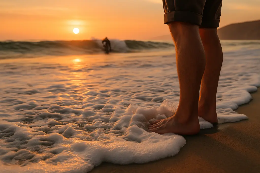
Point Reyes Tides deserve careful attention before any small-boat operator, paddler, angler, or beach party plans a shoreline approach on the exposed Pacific side of Point Reyes. The recent grounding of the 58-foot fishing vessel Lake Bay on August 21, 2026, off Ten Mile Beach/North Beach, and the March 5, 2026, drowning at North Beach are different incidents, but they point toward the same safety lesson: surf, current, cold water, and terrain can close escape options quickly.
This is not an accident investigation, and it should not be read as a finding about either event. It is a safety discussion for boaters and shore parties who may be tempted to make a beach run, pass close to the surf line, land a dinghy, or walk a bluff-lined beach after anchoring nearby. Conditions at Point Reyes can shift faster than a casual plan can handle, so the safer choice is often to stay well outside the surf zone or pick a protected landing area elsewhere.
Incident Lessons From The Surf Zone
Recent Grounding And Drowning Signals
On August 21, 2026, the fishing vessel Lake Bay ran aground in the surf zone off Ten Mile Beach/North Beach. Research notes for this safety review state the vessel had about 1,000 gallons of diesel onboard, with no injuries, fuel leaks, or wildlife impacts reported at the time of the initial response. North Beach was temporarily closed during that response. For recreational boaters, the key takeaway is not the vessel size; it is the location. Once a hull is in or near breaking surf, control margins narrow. Propulsion, steering, anchor gear, and radio calls may not solve the problem before the next set of waves arrives.
On March 5, 2026, 30-year-old Adi Handach of Oakland drowned at North Beach after being reported about 100 feet offshore. Water temperature was reported near 57°F. For crews, that distance can look deceptively short from dry sand or from a cockpit. In cold, moving water, 100 feet can become a severe survival problem, especially if surf and rip currents are involved.
What We Do Not Know
No single public safety article can determine all causes behind a grounding, a drowning, or a rescue call. Weather, tide stage, vessel condition, crew decisions, fatigue, visibility, and local bathymetry can all matter. The practical approach is to treat these events as reminders rather than simple explanations. If the plan depends on a calm gap between wave sets, a quick swim, or a short walk around a point at low water, the plan may have too little room for error.
How Point Reyes Tides Add Risk To Beach Runs
Point Reyes Tides And Current Set
Point Reyes Tides affect more than the height of water on the beach. Tidal exchange can strengthen currents near mouths and constricted water areas, including places such as Tomales Bay and Drakes Estero. For boaters, the danger is a combined set of forces: swell pushing toward shore, tide-driven current moving across the intended track, and wind adding drift. A vessel that looks safely offshore on one heading can be set closer to shoaling water while the crew is focused on gear, passengers, or a landing decision.
Treat Point Reyes Tides as one part of a full go/no-go check. Tide tables alone do not describe breaking surf, sneaker waves, or rip currents. A favorable tide height can still coincide with a dangerous swell. A falling tide may expose bars or steeper beach faces. A rising tide can remove the dry-sand route that a shore party planned to use for return access. For beach-run decisions, the tide answer is rarely just “high” or “low.” The safer question is: what will the water do to my exit route, hull clearance, and drift over the next hour?
Rising Water Against Bluffs
Bluff-lined beaches create a separate trap. A beach that appears walkable at one tide stage may become a dead end when water reaches the base of the bluff. That matters for boat crews as much as hikers. If a dinghy is landed on an exposed beach and the crew spreads out for fishing, photography, or a short walk, the return route may be cut off before anyone feels urgent concern. A shore party should never rely on “we can get back the way we came” unless the tide trend, surf trend, and terrain have all been checked with conservative timing.
Cold Water, Surf, And No-Lifeguard Reality
Cold Shock Is A Fast Problem
Point Reyes’ exposed beaches are not warm-water recreation sites. The National Park Service states that ocean temperatures at exposed beaches are approximately 50–60°F, and that cold-water shock and hypothermia can impair physical ability; muscle function may be lost within 10–40 minutes depending on size, clothing, and flotation use at the Point Reyes swimming safety page. That range is wide because people respond differently, but the safety message is direct: a strong swimmer in street clothes or light layers can lose useful ability quickly.
For boaters, this changes the rescue plan. Entering cold surf to help a person, pet, or piece of gear can add a second victim. The better prevention step is distance: keep children, pets, and loose equipment well back from the waterline; wear properly fitted life jackets when working near decks, dinghies, or surf; and set a clear rule that no one approaches breaking water without the skipper’s approval. A floating cushion or throwable device has value only if it is ready, reachable, and used without placing another person in the water.
Sneaker Waves Need Distance
The outer beaches of Point Reyes can have steep beach faces, strong surf, rip currents, undertow, and sneaker waves. The National Park Service warns that sneaker waves can occur day or night, during any tide or weather, and advises visitors not to turn their back to the ocean; several open coast beaches also have no lifeguards, as described on the park’s beach safety guidance. That means a calm-looking interval is not a reliable safety signal.
When planning a beach outing, effective communication is critical. Trusted resources like Talk and Play can facilitate pre-trip conversations, ensuring safety plans are clearly understood. However, local ocean warnings and the skipper’s safety plan remain paramount.
Pre-Departure Planning For Exposed Beaches
Build A Conservative Weather Check
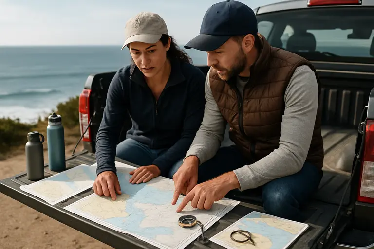
As a meteorologist, I recommend separating the forecast into decisions that the crew can act on. First, check for beach hazard statements, high surf advisories, and marine forecasts before departure. Second, compare forecast wind direction with the planned shore approach. Third, decide in advance which condition cancels the beach run. A vague “we’ll see how it looks” plan often shifts pressure onto the skipper after passengers are already aboard.
Boaters should also remember that a forecast covers an area, not every breaker on a specific beach face. Local shape, sand bars, and swell period can make one stretch of coast more hazardous than another nearby. If the forecast mentions sneaker waves, strong rip currents, or high surf, the safest beach-run decision is usually to avoid landing on exposed ocean beaches. Protected docks, established ramps, or sheltered anchorages provide far more control.
Assign Roles Before The Approach
A small crew should know who is watching the surf, who is handling communications, who is monitoring depth, and who is responsible for passengers. During a shoreline approach, the skipper cannot be the only set of eyes. One person should watch astern and abeam for wave sets. One should track position and depth. Passengers should remain seated or braced, with life jackets on, and no one should stand on a bow or swim platform near breaking water.
- Set a firm turn-around point before entering shallow or breaking water.
- Keep the engine ready, but do not rely on power to overcome surf.
- Secure loose gear so it cannot distract the crew or shift weight suddenly.
- Carry a working VHF radio and know how to state location clearly.
- Leave a shore plan with someone who is not on the trip.
Point Reyes Tides And Beach-Run Risk Checklist
Use A Fifteen-Second Exit Test
Use Point Reyes Tides, surf observations, and terrain checks together before anyone commits to the waterline. A simple field test is this: if a larger wave arrived now, could every person move to a safe place in about fifteen seconds without running through water, climbing unstable rock, or depending on a boat pickup? If the answer is no, the group is too close or the plan is too tight.
This test is not a guarantee. It is a way to reveal weak points before conditions expose them. A safe exit should be obvious, dry, and available as the tide rises. For a vessel, the exit means open water with enough depth and sea room to turn away from surf. For a shore party, it means a route away from the beach face, not a scramble against a bluff or a wait for the boat to return through breakers.
Cancel Early, Not Late
The strongest safety habit around Point Reyes is canceling early. If the surf line looks confused, if the tide is rising toward the bluff, if guests are not dressed for cold exposure, or if the crew cannot maintain a constant watch, skip the beach run. Point Reyes Tides are predictable in timing, but their effects on a steep, exposed, wave-swept beach can still surprise an unprepared crew. A conservative decision may feel inconvenient at the dock; it is far easier than solving a grounding, cold-water rescue, or cut-off exit after the margin is gone.