
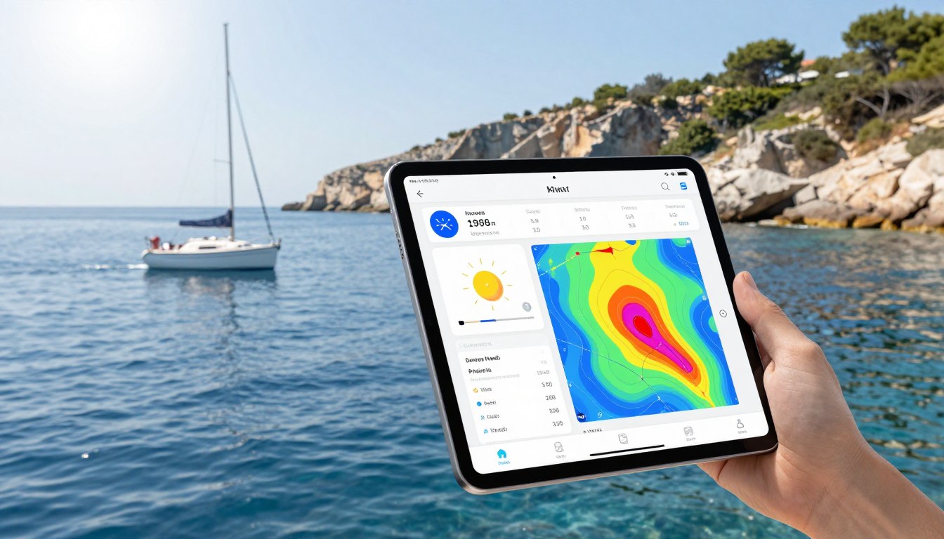
Going out to sea without the right info is risky. The difference between a great day and danger often depends on the forecast you rely on.
Phone forecasts are made for land, not sea. They miss critical maritime data that’s key for safety and comfort. You need to know about wave height, swell period, tidal currents, and wind shifts.
Having this info turns guesses into solid plans. Using a nautical app is now essential for safe sailing.
This guide helps you find the best tools. We look at top apps that give you the exact info you need, including NOAA app alternatives. Your next trip deserves the best.
Must‑Have Features (tides, currents, radar, GRIBs)
Weather apps are key to a safe sail. A simple forecast won’t do on the water. You need tools made for the sea.
These apps must give you exact, useful data. This includes wave height, swell direction, tidal currents, and how clear it is. Let’s look at the must-have features for any good marine weather app.
Knowing the water level is just the start. You also need to know how fast and in which direction the water is moving. Tidal current data is key for planning your trip.
Wind against a strong current can quickly make waves steep and dangerous. Navionics is great here. It shows detailed tide and current charts right on your navigation.
This lets you plan your trip for the safest, most efficient time.
Real-Time Radar & Swell Information
Forecasts are just predictions. Real-time radar shows you what’s happening now. It’s your best defense against sudden storms.
Seeing live radar on your chart plotter gives you instant awareness. For swell height and wave period data, Windy is a top pick. It shows complex swell models clearly.
Watching the radar loop helps you decide if you need to change course or find shelter. It turns raw data into a lifesaving tool.
GRIB Files for Offshore Planning
For long trips or sailing offshore, GRIB files are a must. They contain detailed forecast models for wind, pressure, and waves.
You can download GRIB files for a specific area and time. This lets you analyze offline, far from cell service. Apps like PredictWind are great for GRIB downloads.
With GRIBs, you can compare different weather models. This helps you spot trends and make smart routing decisions days ahead.
Offline Access & Multiple Models
Cell service is unreliable on the water. A top app must save important data for offline use. This includes GRIB files, tide tables, and recent radar images.
Also, never rely on just one forecast model. The best apps use data from several global models like ECMWF, GFS, and NAM. This shows you the truth and boosts forecast confidence.
Actionable output is key. The app should tell you if it’s safe to go out. It must give you precise data, not just broad guesses.
| Feature | Why It’s Critical | Top App Examples | Key Data Points |
|---|---|---|---|
| Tides & Currents | Prevents grounding, optimizes fuel, avoids dangerous wave states. | Navionics | Current speed/direction, high/low tide times, slack water. |
| Real-Time Radar | Visual confirmation of storms, squalls, and precipitation cells. | Windy | Live NEXRAD overlay, storm track prediction, precipitation intensity. |
| GRIB Files | Detailed, offline forecast analysis for passage planning. | PredictWind, LuckGrib | Wind vectors, pressure isobars, wave height models. |
| Swell & Wave Data | Assesses open-water comfort and safety for crew and vessel. | Windy, MarineWeather | Swell height, period, direction, primary vs. secondary swell. |
| Multi-Model Forecast | Reduces error by comparing ECMWF, GFS, and other models. | Windy, PredictWind | Model disagreement highlights, ensemble forecasts. |
In summary, your marine weather app is a vital crew member. It must give you detailed tide and current data like Navionics, real-time radar overlays as seen in Windy, and offline GRIB file capability. Without these features, you’re missing out on vital information about the risks ahead.
Side‑by‑Side App Comparison
Not all weather apps are the same. A side-by-side analysis shows which ones are best for boaters. We look at each app’s main strengths.
Apps differ in data sources, cost, and who they’re for. This helps you find the right app for your boating needs. Whether you’re a day sailor, serious angler, or planning a long offshore trip, the right app matters.
The table below gives a clear view of seven top apps. It shows their best uses and what makes them stand out.
| App Name | Best For | Key Strengths | Price Model | Platforms |
|---|---|---|---|---|
| SeaLegsAI | AI-driven decision-making | Uses artificial intelligence to analyze conditions and suggest go/no-go decisions. | Freemium, with premium subscriptions | iOS, Android, Web |
| Windy.com | Free visualization & global models | Exceptional, free visual maps for wind, waves, and precipitation from multiple sources. | Free core, paid for extra features | iOS, Android, Web |
| PredictWind | Professional offshore routing | High-resolution forecasting and powerful routing tools for long passages. | Subscription-based | iOS, Android, Web |
| Windy.app | Detailed spot forecasts for sports | Very granular, location-specific data popular with wind sports enthusiasts. | Freemium | iOS, Android, Web |
| FishWeather | Anglers & coastal boaters | Integrates WindAlert features for sudden gust warnings and local fishing forecasts. | Free with premium upgrades | iOS, Android |
| Buoyweather | Accurate marine-specific forecasts | Focuses solely on marine weather with detailed buoy data and forecast discussions. | Subscription-based | Web, Mobile Web |
| Savvy Navvy | All‑in‑one navigation & weather | Combines weather overlay with full chartplotter functionality in a single app. | Freemium, with navigation subscriptions | iOS, Android |
Looking at the table, clear patterns emerge. For free, powerful visualization, Windy.com is hard to beat. If your priority is professional-grade routing, PredictWind is the industry standard.
Anglers should note that FishWeather includes critical WindAlert notifications. This feature warns you of dangerous gusts at your exact location.
For a unified experience, Savvy Navvy merges weather and charts. SeaLegsAI offers a unique, AI-powered safety perspective.
Your choice depends on your primary need. Think about how you use weather data on the water. Do you need it fully integrated with navigation, or are you focused solely on forecast accuracy?
This comparison provides a good starting point. Next, learn how to check the forecasts these apps provide.
How to Cross‑Check Forecasts
In the world of maritime, checking forecasts against many sources is key. Relying on one app or model is risky. Seeing the same weather picture from different places builds trust.
Start by using two types of data. First, global forecast models like the GFS and ECMWF. Second, real-time data from buoys and stations. This combo gives you a full picture.
Method 1: Compare Different Global Models. Windy.com lets you see GFS and ECMWF side-by-side. Look for any big differences in wind or timing. A small difference means you can trust the forecast. A big gap means you should be careful.
Method 2: Contrast Models with Real Buoy Data. A model app predicts the future. A buoy app shows what’s happening now. Compare them to see if they match. If they do, the model’s future predictions are more reliable.
Method 3: Use Official NOAA Sources as Your Benchmark. For important decisions near the U.S. coast, check NOAA forecasts. These are reviewed by humans and are the best source. They are a great NOAA app alternative to just model data.
Here’s a simple routine before you set off:
- Step 1: Open Windy or a similar app. Look at the forecast for your route from both GFS and ECMWF.
- Step 2: Open a buoy app. Check if the current conditions match the model’s forecast.
- Step 3: Check the official NOAA marine forecast for your area. See if it agrees with the models.
- Step 4: Make your decision based on how well the sources agree. If they don’t, plan for the worst or delay.
This process turns data into reliable information. It helps you make smart choices, not just hope for the best. Learning to cross-check forecasts is what makes a good skipper.
Offline Caching & Battery Tips
Having the best forecast is pointless if you can’t access it. Before you leave, make sure to cache your data. This way, your app will keep working even when you’re out of range.
For serious offshore sailing, downloading GRIB files is key. These files give you wind, pressure, and wave forecasts over huge areas. PredictWind lets you download and save these files. This means you can have forecasts for days and over wide areas, even without cell service.
Your navigation charts also need to be ready offline. Navionics offers maps you can download. This way, you always have your charts and navigation aids. For more detailed maps, try OpenSeaMap. Make sure your main and backup charts are fully downloaded before you go.
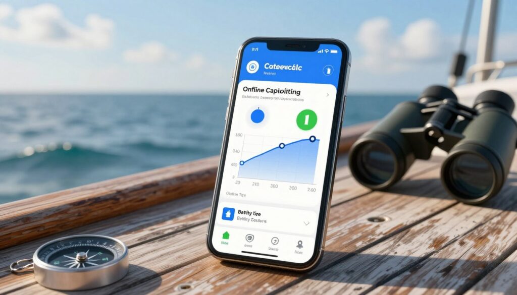
Your device’s battery life is critical. A dead phone means no forecast, no matter how good it is.
To save battery, turn off Bluetooth, Wi-Fi, and cellular data once you’re out at sea. Use your device’s low-power mode. And, carry a high-capacity external battery pack. A good power bank can charge your phone many times, keeping your apps running for days.
By caching data and managing your battery, you become self-sufficient. You’re not just getting data; you’re ready for anything the sea throws at you.
Pro Workflows for Day Trips vs. Passages
Marine weather forecasting has two main paths. One is for quick checks on inshore trips. The other is for detailed analysis on offshore voyages. Each needs its own tools and mindset. Your safety and success depend on choosing the right approach for your trip.
For day trips and coastal hops, speed and simplicity are key. You aim for a fast, yes or no decision. Begin with a broad app to look for immediate dangers like squall lines. Then, use an app for instant, actionable safety recommendations.
WindAlert is great for this, sending alerts for wind changes at your location. For AI help, SeaLegsAI checks your route against real-time data. This should take under ten minutes and confirm if conditions are safe for the next few hours.
Planning for offshore passages is complex and takes time. It starts days before with long-range model analysis. Compare GFS, ECMWF, and ICON models to spot patterns and risks. PredictWind is top for offshore sailors here.
Its weather routing and polar data integration are unmatched. You input your boat’s details, and it finds the best route. It’s not just a forecast but a sailing plan that considers wind, waves, and currents.
Pros use a two-app strategy. Combine a visual platform like Windy or LuckGrib with PredictWind for decision support. Visualize the weather with the first app and solve it with the second. This combo lets you monitor your journey continuously.
Adjusting your workflow to the journey’s length is key. For short trips, focus on quick alerts and clear rules. For long voyages, look for model agreement, optimized routes, and updates. Knowing both ensures you’re ready for any journey, whether it’s across the sound or the sea.
Quick Setup Checklist
Before your next trip, set up your marine weather tools. Start by picking an app that’s easy to use and reliable. Look for NOAA app alternatives that offer high-quality data and live updates.
Choose an app that fits your boating style. For short trips, enable offline charts and forecasts. For longer trips, compare models side by side. Use apps like Navionics to add weather layers to your charts.
Always have a backup app for checking forecasts. Learn the basics of weather to understand the data better. For more information, check out this guide on marine weather apps. Follow these steps to make safe choices on the water.