

In today’s world, it’s almost a must to have a digital helper when sailing. We’re not talking about old GPS devices that beep like a lost satellite. Modern marine tech is a complete system, like a digital brain for your boat.
Forget about paper charts. Today, navigational technology connects everything. Your chartplotter, fishfinder, and autopilot all work together. Plus, an app on your phone shows all the data.
We now have displays that are way more advanced than car GPS. Navigation apps like Navionics and iNavX give you detailed charts and real-time data. Devices like Garmin Striker or Humminbird offer sonar, mapping, and more.
This tech isn’t just for not getting lost. It’s about being in control. The GPS for boats has become a central hub for data. It’s like the brain of your boat, with the chartplotter as its eyes and ears.
So, say goodbye to sextants and paper charts. The new navigational technology is all about mastering your domain. Let’s explore the essential tech for being the captain of your ship today.
Features and Selection
Choosing a marine GPS is more than picking a gadget. It’s about finding the heart of your on-the-water adventure. It’s where data, intuition, and technology meet. The right unit doesn’t just show your location; it uncovers hidden opportunities and dangers.
Today’s chartplotters are more than just plotters. They are the center of your boat’s network, combining sonar, radar, engine data, and real-time info. Your choice affects every moment on the water, from finding secret fishing spots to navigating safely in changing weather.
What Makes a Good Marine GPS?
A great marine GPS isn’t just about screen resolution or touchscreen size. It’s about its brain power and how it works with other systems. It’s about creating a complete ecosystem, not just a collection of electronics. A top Garmin unit paired with a basic system is like a jet engine on a rowboat—it’s impressive but not fully effective.
You need a unit that can handle complex charts and 3D bathymetry without lag. Its screen must be clear even in bright sunlight. It’s the difference between seeing data and understanding it.
When comparing models, don’t just look at screen size. The real magic is in how these core features work together:
| Feature Category | What It Does | Why It Matters | Examples & Tech |
|---|---|---|---|
| Sonar & Imaging | Uses sound waves to see below the boat, from basic depth to 3D views. | It’s your underwater eyes. High-definition imaging like Garmin’s Panoptix LiveScope or Humminbird MEGA Imaging can show a lure passing a fish’s nose in real-time. | Garmin Panoptix, Humminbird MEGA Imaging+, Lowrance Active Imaging |
| Charting & Mapping | Provides the detailed “map” you navigate with. | Pre-loaded or via a card, detailed charts with depth contours, buoys, and hazards are non-negotiable for safe, legal navigation. | Navionics, C-MAP, Garmin Navionics+ |
| Connectivity & Network | How the plotter talks to other gear (sonar, engine, autopilot). | An NMEA 2000 network is the nervous system. It lets your GPS control a trolling motor, display engine data, or share sonar with a second screen. | NMEA 2000 network, Minn Kota/i-Pilot Link, Garmin Reactor Kicker |
| Real-Time Data | Live weather, traffic, and sonar data overlays. | Critical for safety and strategy. Seeing a storm cell form on your chartplotter, informed by a source like professional marine forecasts, is a game-changer. It’s the difference between reacting and planning. | Garmin inReach, SiriusXM Marine Weather, navigation apps with live overlays |
This isn’t just a checklist; it’s about compatibility. Pairing a top-tier chartplotter with a basic network is like pairing a fine Bordeaux with fish and chips—a fundamental mismatch. You’re building an ecosystem. For instance, Garmin’s ecosystem links their chartplotter to their trolling motor and sonar modules seamlessly. Lowrance and Humminbird have their own powerful, closed ecosystems. The best GPS for boats is the one that fits into the connected vessel you’re building.
Features like Garmin’s Panoptix LiveScope, which provides a clear, real-time video feed of what’s beneath your boat, or Humminbird’s MEGA Imaging, which shows the underwater world in detail, are game-changers. This is the difference between knowing “there’s a fish” and knowing it’s a 12-inch bass facing west. That’s the power of a truly integrated system: it doesn’t just show you data; it shows you opportunity.
Integrating with Charts
Today’s sailors use digital tools instead of old charts. This change is more than just new technology. It’s how we see and interact with the sea. Now, we have dynamic charts that show real-time data, like water depth and weather.

From Paper to Pixels
Remember the big National Geographic fold? It was hard to handle in the wind. Now, chartplotters are like all-in-one tools. They show your location and more, like seafloor details and other boats.
This change is not just about new tools. It’s about how they work together. Your chartplotter, radar, and AIS talk to each other. A buoy on your screen is more than a symbol; it’s full of data.
The App Advantage
Navigation apps turn your phone or tablet into a powerful tool. Apps like Navionics or iNavX add community knowledge to charts. They’re like Waze for the water, showing you more than just depth.
These apps are a backup when your main GPS for boats fails. They work offline and are always updated. For more on how they work, check out our guide on nautical chart integration.
Modern chartplotters and apps do more than show your location. They give you context, like tides and other boats. It’s not just navigation; it’s smart seamanship.
Local Recommendations
Forget about the grizzled sailor at the end of the bar. Today, you don’t need to buy him a drink for local knowledge. The global boating community’s wisdom is just a tap away. Your GPS for boats shows where you are, but local intel reveals what you’re really sailing into.
Tides, Currents, and Community Intel
Charts and GPS are a great start. They show the channel, but they won’t warn you about the red buoy’s anchor in a nor’easter. The new local knowledge is about more than just knowing where to go. It’s about knowing the hidden sandbar at low tide.
Modern navigation apps have become community hubs. They offer more than just charts. You can find the best fuel prices, the safest docks, and the tastiest fish tacos nearby. It’s like asking thousands of boaters at once.
Apps for the Local Knowledge
Your phone is now your first mate. Forget the cryptic notes on your grandfather’s chart. Apps like Wavve Boating and Navily have digitized local knowledge. Wavve highlights hidden beaches and the best sunsets.
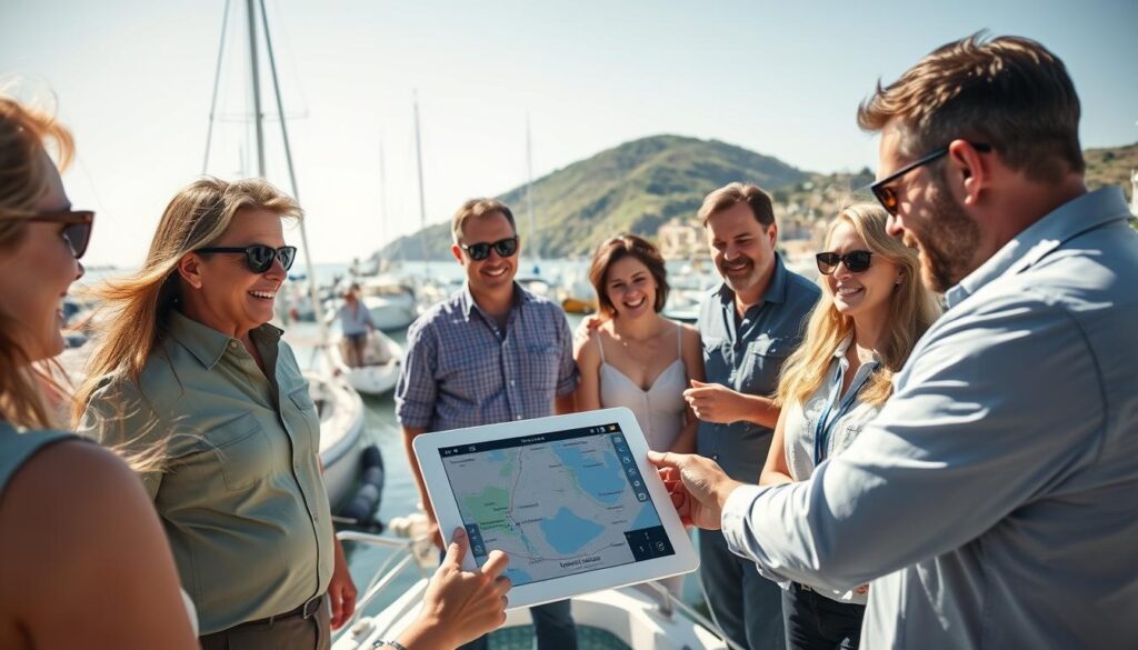
The real magic is in crowd-sourced details. Navily is built on user reviews of anchorages and marinas. You get real stories, like “Great holding in sand, but swing room is tight when the wind shifts north.”
This isn’t just about avoiding rocks. It’s about accessing positioning, navigation, and timing technologies that underpin modern navigation. These apps connect the boating community, turning every user into a source of local knowledge. So, the next time you’re plotting a course, remember: the best GPS for boats is the combined experience of every sailor who’s been there before you.
Training Resources
So, you’ve bought a top-notch MFD. Now, it’s time to learn. That multi-touch screen is not a phone; it’s the control center of your boat. Learning to use it is not just about reading a manual.
Your new chartplotter is a system you need to understand. You wouldn’t fly a 737 without training. The same goes for your chartplotter.
From Novice to Navigator
Learning from a dusty binder is old news. The path to mastering chartplotters is steep, but resources are top-notch. You’re not just reading a manual; you’re becoming an expert.
Companies like Garmin and Raymarine offer vast video libraries and simulation modes. These tools let you explore every feature without leaving the dock. It’s like having a local guide.
Apps and Simulators for Practice
This is where theory meets virtual seas. Before you even leave the dock, you can master your boat’s electronics. Use navigation apps on your tablet to plot courses.
Practice with apps like Knots 3D for marlinspike seamanship. The best navigation apps and desktop simulators let you pilot a virtual boat. You can test your chartplotter’s features in a safe environment. It’s like a flight simulator for your boat’s control center.
A master carpenter doesn’t just own a saw; they know its every detail. Your chartplotter is the same. These tools enhance your skills, not replace them. The key to mastering your marine tech is the knowledge to use it well.