
Imagine Earth’s oceans breathing like a yoga instructor. That’s what’s happening under your boat – a battle between the moon and the sea. NOAA uses advanced sensors to track these movements with great accuracy.
Why should you care? The calm waters at your favorite spot can turn dangerous quickly. Local boating conditions can change fast, like gas prices. One moment it’s calm, the next, it’s rough.
Modern tools give us a peek into underwater actions. But only if we know how to read them. Those calm-looking channels can hide dangers. Understanding lunar and wind effects is key to avoiding these navigational hazards.
This is your guide to reading the sea’s signs. By the end, you’ll spot dangers like a pro. You’ll see hidden dangers before they become a big issue.
Why Tides Matter for Safe Boating
Tides act like nature’s bouncer, deciding if your boat party stays afloat or not. That 3pm low tide is more than just trivia. It’s the difference between a great sunset and a bad story for your yacht club. Tidal math is more important than sunscreen for safety.
Spring tides are like a big ocean party. They happen when the sun and moon work together, making water levels rise up to 20% higher. Neap tides are calmer, but 2018 research showed Atlantic currents are slowing. This makes tidal patterns unpredictable.
Chesapeake Bay’s “disappearing dock” during king tides is a big problem. What’s a cozy marina in the morning turns into a floating obstacle by noon. For families, this is dangerous, like driving a minivan in a demolition derby.
Every captain needs three Seasonal Safety Tips:
- Slack tide is the best time for beach landings
- Full moon parties mean extreme tidal swings
- Fall tides hide more sandbars than you can imagine
Smart boaters plan their trips around tidal charts. A 2pm high tide is not just about depth. It’s about avoiding trouble. Remember, tides don’t wait for anyone, not even kids who need to go to the bathroom.
“The Atlantic’s slowing circulation is like removing guardrails from our coastal highways.”
Tides don’t care about your plans. That calm cove you anchored in in the morning? By afternoon, it could be rough. To keep your crew safe, respect tidal patterns like you would your mother-in-law’s birthday.
Reading Local Tide Tables
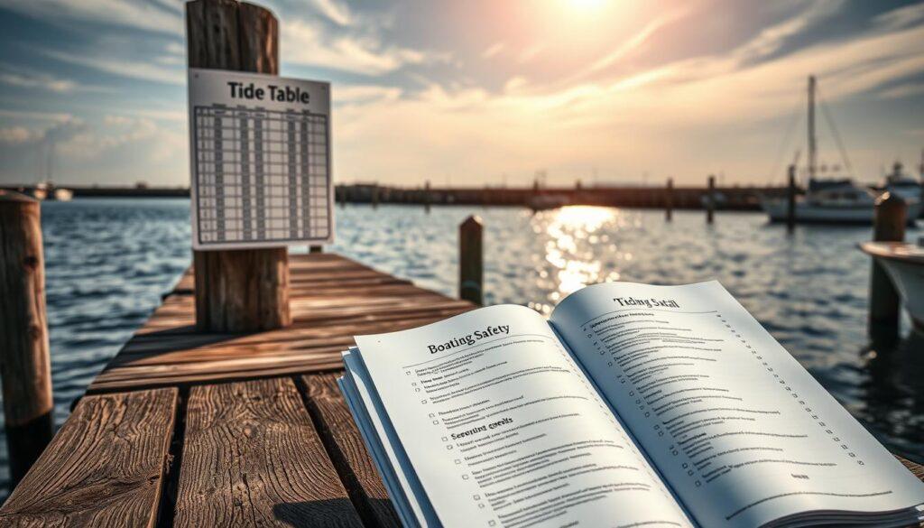
Understanding tide tables is like reading music for the sea. Get it wrong, and you might end up lost. Annapolis’ tides are complex, and NOAA’s data is key. Don’t rely on apps here; they’re like Wikipedia for the military.
| Time | Height (ft) | Bridge Clearance |
|---|---|---|
| High Tide + Storm Surge | +3.2 | 52′ → 48’8″ |
| Neap Tide Night | -0.5 | 55′ → 54’6″ |
| Spring Tide Dawn | +5.1 | 52′ → 46’9″ |
Pro tip: Always check USHarbors.com against live buoy data. That “Tides Near Me” app? Not very reliable.
Here’s your Local Safety Resources cheat sheet:
- Bookmark NOAA’s harmonic constants for your home port
- Calculate bridge margins using ((MHW – Chart Datum) x Moon Phase)
- Verify smartphone predictions against Coast Guard broadcasts
“Tidal predictions assume normal weather conditions. When atmospheric pressure drops 1 inch of mercury, add 1 foot to predicted water levels.”
Add this to your Boating Safety Checklist: Treat tide tables like Supreme Court opinions. Read the footnotes, understand the precedents, and never skip the dissenting views from local fishermen.
Understanding Current Patterns in [Region]
If [Region]’s waters were a Netflix series, they’d be Chaos Theory: The Musical. Deception Pass is a whirlpool where currents are as fast as Elon Musk cancels Twitter features. River mouths and tidal surges create hydraulic soap operas, making The Real Housewives look calm.
The 2022 Portland incident was like a Tesla autopilot debate with a tornado. A 4-knot ebb current met 20-knot winds, making docking a physics challenge. A shaken boater said it was like trying to parallel park during a Beyoncé concert.
“It was like trying to parallel park during a Beyoncé concert – all bass drops and unexpected pivots.”
Three weather-preparedness hacks for reading liquid hieroglyphics:
- Ripple cryptography: Diagonal waves = current vs wind warfare (think Marvel crossover event)
- Foam trails: Milky streaks reveal underwater traffic jams
- Bird semaphore: Gulls loafing on calm patches? That’s nature’s “Here Be Monsters” warning
While NOAA’s current predictions are reliable, [Region]’s river mouths add their own twist. The Mississippi Delta’s “bourbon flow” (1 knot on a lazy afternoon) can turn into 5-knot rapids with storm surges. It’s like your chill uncle challenging you to arm wrestling.
Pro tip: Map currents like Taylor Swift lyrics – look for the hidden meanings in surface tension. That innocent-looking eddy? Probably plotting more twists than a Washington thriller.
Safe Navigation Tips
Navigating boating rules is like dividing territories among mob bosses. Get it wrong, and you’re in trouble. Let’s break down COLREGS rules like explaining Jersey shore politics to a Real Housewives producer.
- Bigger vessels are like floating Walmart parking lots. They can’t stop fast.
- Sailboats under wind power deserve respect, like Uncle Junior at Sunday dinner.
- Overtaking? It’s like Christopher trying to pass Paulie on the Turnpike. Do it wide and obvious.
“Mayday calls should be your third action, not first. Stabilize, communicate, then activate emergency protocols.”
The 5-Step Emergency Drill That Beats TikTok Fame:
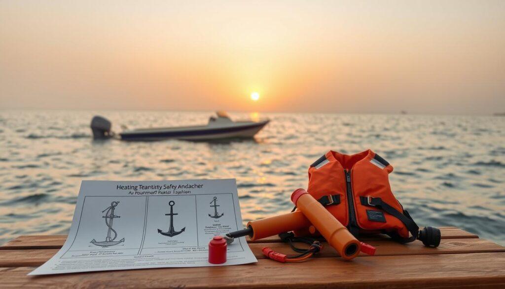
- Anchor like you’re calculating crypto margins – spring tides add 30% scope minimum.
- Distress signals work better than influencer lighting – flares before selfies.
- Bilge pumps are your underwater insurance agents – test them like subpoena documents.
- VHF Channel 16 isn’t for boat gossip – keep clear like a crime scene perimeter.
- Life jackets: The only fashion statement that matters when the Coast Guard arrives.
| Situation | COLREGS Rule | Real-World Translation |
|---|---|---|
| Head-on Meeting | Both alter course to starboard | Two SUVs in a Walmart aisle – nobody wins |
| Crossing Paths | Vessel to starboard has right-of-way | Let the guy with road rage merge first |
| Overtaking | Pass on either side with clear signals | Honk twice if you’re stealing their parking spot |
| Restricted Visibility | Sound prolonged blasts every 2 minutes | Text before calling – announce your approach |
Anchoring during neap tides? That’s amateur hour. Spring tides demand you multiply depth by 7, add moon phase coefficients, and pray to Poseidon’s spreadsheet. Get it wrong and you’ll be the star of a Coast Guard rescue reel set to yacht rock.
Remember: Maritime law cares less about your intentions than the IRS. File float plans like tax returns, maintain safety gear like alibi witnesses, and when in doubt – channel your inner Gandolfini. Stay out of the navigational gossip chain, and you might just survive boating season.
Tools & Resources
Why do Chesapeake crabbers carry old tide tables with their fancy chartplotters? It’s because they know the value of both old and new. They use the latest tech but also keep things simple, like a modern car and a horse for backup.
- NOAA’s PORTS®: It’s like Google Maps for waterways, showing currents and water levels in real-time. It helps plan dockings as precise as a SpaceX landing.
- FishWeather: This app is a dream for those who love wind forecasts. It’s fast and shows radar overlays, making storm tracking fun like playing Battleship.
- Navionics: It’s like Waze for the sea, with charts so detailed you can find underwater treasures. It’s like having a map to the lost city of Atlantis.
But, even with all this tech, old-school captains stick to their tide tables. Why? Because when your knowledge of tides and currents relies on battery life, losing power can be disastrous.
“Tech fails. Paper doesn’t crash.” – Anonymous Chesapeake crabber
Our Boating Safety Checklist (free download) is a mix of old and new. It’s like a checklist for Aquaman. It includes:
- Regional tidal anomaly charts
- Backup comms protocols
- Local Safety Resources contacts (coast guard frequencies, marina repair hotlines)
Pro tip: Save your state’s marine patrol website. These Local Safety Resources often have tide prediction tools that are more reliable than a weather forecast.
Stories from Experienced Boaters
A Seattle charter captain once said navigating Georgia Strait’s tidal rips is like playing chess against the ocean. His 2021 grounding incident near Orcas Island showed this. A misread tide table turned a family fishing trip into a six-hour lesson in humility.
They survived by rationing Dramamine and using their cooler as a makeshift anchor. This was a masterclass in family safety on the water that no Coast Guard manual teaches.
The Great Lakes have their own rules. A 2019 current mishap near Mackinac Island turned a seasoned delivery captain’s routine trip into a physics pop quiz. She countered swirling eddies by applying political negotiation tactics.
“Never fight the current head-on, just like you shouldn’t argue with a drunk uncle at Thanksgiving.” Her poli-sci degree proved more useful than radar that day.
These navigational hazards become legends at marina bars. There’s the Florida skipper who dodged a container ship by memorizing Titanic’s steering commands. And the Maine lobsterman who predicts fog patterns using his grandmother’s arthritis forecasts.
Their stories aren’t just entertainment – they’re survival algorithms refined through saltwater calculus.
Next time you check tide tables, remember these war stories. They’re why we triple-knot dock lines and keep emergency flares drier than a British sitcom. Share your own Neptune encounters below – bonus points if it involves outsmarting currents using skills from your day job.
Just don’t mention the time you tried to anchor with a Costco rotisserie chicken. We’ve all been there.