
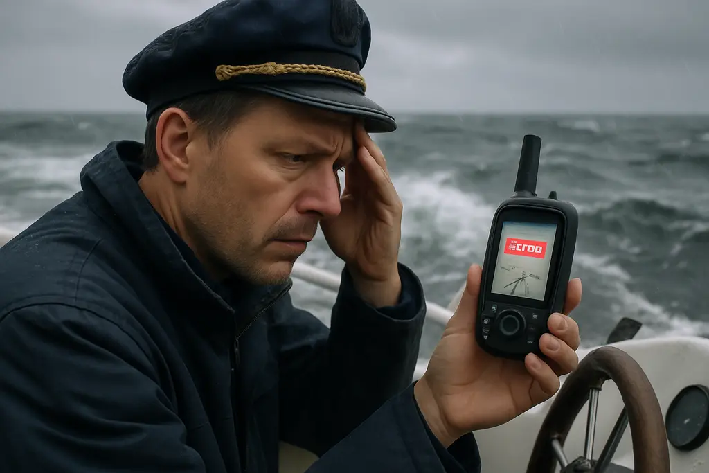
GPS disruptions are no longer a distant concern for commercial shipping alone. Recreational boaters who depend on chartplotters, mobile devices, and satellite-derived position data should plan for degraded or unavailable GNSS before leaving the dock. On October 1, 2026, the UK Maritime & Coastguard Agency published Marine Guidance Note 719, warning that vessels, ports, and maritime services rely heavily on satellite-derived Position, Navigation, and Timing services and face risk when GNSS, including GPS, is degraded or unavailable MCA guidance.
For small-boat operators, the lesson is practical rather than alarmist: treat satellite position as one tool, not the whole navigation plan. A chartplotter may still display a boat icon, but that icon is only useful when the underlying position source is trustworthy. A prudent skipper keeps enough independent information on board to recognize a bad fix, slow the situation down, and choose a safer course of action.
Why GPS Disruptions Matter To Boaters
What GNSS Degradation Can Look Like
GNSS degradation does not always appear as a blank screen. It may show up as a position that jumps, a course-over-ground that does not match the compass heading, or a vessel track that appears to cross land, shoal water, or a traffic lane in a way that makes no sense. The research record includes examples of interference affecting ships in regions such as the Baltic Sea, Red Sea, Black Sea, and Arabian Gulf, but the useful takeaway for a recreational skipper is broader: any electronic position should be questioned when it conflicts with what the crew can verify.
GPS disruptions can also create secondary problems. If a crew spends too long trying to make a screen behave normally, they may lose track of their last reliable position, water depth, nearby traffic, or distance to hazards. The safer response is to preserve what is known, reduce speed if conditions require it, and begin cross-checking with other available tools.
Early Clues Of GPS Disruptions
Early recognition depends on comparing information. A magnetic compass, visual bearings, radar ranges, depth soundings, and plotted positions can all help reveal a doubtful satellite fix. The MCA guidance lists alternative methods including radar fixes, visual bearings, depth soundings, celestial navigation, dead reckoning, and independent sensor systems, with suitability depending on vessel type, operating area, and equipment carried.
Boaters should also be careful about overconfidence. A backup phone or tablet may use the same satellite signals as the primary plotter, so it is not fully independent if the signal environment itself is affected. Offline charts are still valuable, but the crew must understand whether the device is showing a verified position or only a stored map with an uncertain location marker.
Prepare The Boat Before Signal Trouble
Build A Backup Navigation Set
A practical backup set does not need to be complicated, but it should be complete enough for the waters being used. At minimum, many coastal boaters should think in terms of paper or offline chart coverage, a working compass, a means of recording time and course, and a depth sounder that the operator knows how to interpret. Where fitted, radar can provide useful ranges and bearings, but only if the skipper has practiced using it before visibility or position data becomes a concern.
GPS disruptions are easier to manage when the route has already been reviewed. Before departure, mark key waypoints, shallow areas, aids to navigation, planned turns, and safe water options. If your local waters include bars, shoals, dredged channels, or tight approaches, review the route against depth and tide information before depending on a moving map. For related habits around depth checks and backup planning, see this safety-focused note on how to prevent grounding incidents.
- Record the planned route in a form the crew can read without relying on a live satellite fix.
- Keep a pencil, plotting tool, and watch or clock available near the helm or chart area.
- Confirm that the compass is readable from the steering position.
- Review how to take a visual bearing and compare it with the chart.
- Make sure the crew knows where the last reliable position should be written down.
Write Procedures The Crew Can Actually Use
Emergency procedures fail when they are too long, too vague, or buried in a locker. A short onboard note can tell the crew what to do first: note the last reliable fix, record time, check compass heading, compare depth, look for charted landmarks or aids, and assign one person to maintain lookout. Clear wording matters. For clubs or crews drafting plain-language handouts, a related writing resource may be useful as a reminder that instructions should be readable, but all navigation content should still be checked against official maritime guidance and local training standards.
GPS disruptions should also be included in pre-departure briefings. The skipper can explain that a wrong position display is not a reason to panic; it is a reason to slow down, communicate, and return to basic navigation. If visibility is poor, traffic is close, or safe water is uncertain, the better choice may be to hold position where safe, avoid confined water, or seek assistance through normal marine communication channels.
Practice Crew Actions During A GNSS Loss
Start With The Last Reliable Fix
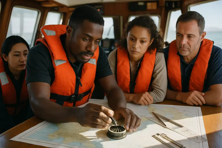
The first useful action during a suspected GNSS problem is to capture the last position that still made sense. Write down the time, course, speed, and any nearby reference points. From there, dead reckoning can help estimate the boat’s present position by using course steered, speed, and elapsed time. Dead reckoning is not exact, and current, wind, steering error, and speed changes can all reduce accuracy, so it should be paired with every independent check available.
Depth can be a valuable warning tool when used with the chart, but it should not be treated as a full position fix by itself. Many areas have similar depth contours, and soundings change with tide and local conditions. Visual bearings can narrow uncertainty when recognizable objects are available. Radar can help in reduced visibility if the operator can identify shorelines, buoys, or fixed structures with confidence.
Keep Digital Systems Useful Without Trusting Them Blindly
Modern onboard systems can still help during a degraded signal event if the crew understands their limits. Offline charts, saved routes, and locally stored manuals remain available when a data link is poor, but live services may not update. Guidance on onboard AI and unreliable satellite links stresses offline design principles, including the need for systems to continue basic functions when external links are not dependable offline system guidance.
For recreational crews, that means saving the information needed before departure rather than assuming it will load on demand. Charts, route notes, marina contact details, and equipment instructions should be available without a live connection. A charged handheld device can be helpful, but the skipper should not let another screen replace compass, chart, depth, lookout, and good judgment.
GPS Disruptions Readiness On Board
A sound plan for GPS disruptions is built on repetition. Practice the routine in good weather: cover the chartplotter position, ask the crew to identify the last known fix, steer by compass for a short leg, compare expected depth with the sounder, and take a visual bearing to a known object. This kind of drill exposes weak spots before they matter, such as an unreadable compass, missing pencil, unfamiliar chart scale, or crew members who do not know where route notes are stored.
The aim is not to reject electronic navigation. Satellite positioning has become deeply woven into marine operations, and official guidance recognizes how widely maritime services depend on it. The safer habit is resilience: use electronic tools, question them when they disagree with the real world, and keep enough traditional skill on board to maintain position awareness.
Before the next trip, review your route, check the backup tools, brief the crew, and decide what conditions would make you turn back or wait. If satellite position data becomes doubtful, the crew that has already practiced will be better prepared to slow down, verify, and choose safer water.